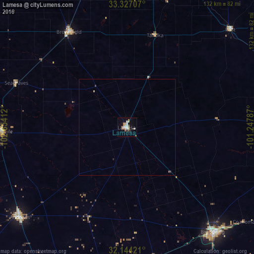
Lamesa night lights from space
Night Light of Lamesa (Texas) from space (United States) Src. Average luminocity for 10x10km area is 18.9528% and for 50x50km: 0.9286%.
Analysis of Lamesa night lights 2016
Square area 10x10 km:
 2.8%
2.8%90-99
2.8%80-89
3.67%70-79
1.92%60-69
3.85%50-59
1.4%40-49
1.05%30-39
0.7%20-29
1.05%10-19
8.39%0-9
72.38%Square area 50x50 km:
0.12%90-99
0.12%80-89
0.18%70-79
0.08%60-69
0.17%50-59
0.08%40-49
0.1%30-39
0.04%20-29
0.07%10-19
0.35%0-9
98.7%Clear (daylight) street map image can be seen on geolist.org.
Map coordinates:
33° 19' 37.5" North, 102° 39' 14.8" West
32° 44' 15.4" North, 101° 57' 3.6" West
32° 8' 39.2" North, 101° 14' 52.3" West
Some cities around Lamesa sort by population:
• Lubbock
93.9 km =58.3 mi,  5°
5°
• Midland
83.2 km =51.7 mi,  188°
188°
• Big Spring
70 km =43.5 mi,  140°
140°
• Andrews
72.6 km =45.1 mi,  230°
230°
• Brownfield
57.8 km =35.9 mi,  328°
328°
• Seminole
64.9 km =40.3 mi,  268°
268°
• Slaton
82.9 km =51.5 mi,  20°
20°
• Post
73.4 km =45.6 mi,  46°
46°
5524849 (p: 9,427)
Sources (retrieved 2019-11-25):
» Earth at Night: Flat Maps 2012, 2016