Hobbs night lights from space
Night Light of Hobbs (New Mexico) from space (United States) Src. Average luminocity for 10x10km area is 61.2133% and for 50x50km: 6.6747%.
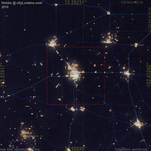
Analysis of Hobbs night lights 2016
Square area 10x10 km:
 14.51%
90-99
15.03%80-89
11.36%70-79
8.92%60-69
4.9%50-59
3.15%40-49
8.04%30-39
4.2%20-29
16.78%10-19
12.59%0-9
0.52%Square area 50x50 km:
0.74%90-99
0.73%80-89
1.19%70-79
1.33%60-69
0.8%50-59
0.68%40-49
0.81%30-39
0.98%20-29
1.74%10-19
4.27%0-9
86.74%Clear (daylight) street map image can be seen on geolist.org.
Map coordinates:
33° 17' 32.3" North, 103° 50' 21" West
32° 42' 9.4" North, 103° 8' 9.7" West
32° 6' 32.3" North, 102° 25' 58.5" West
Some cities around Hobbs sort by population:
• Carlsbad
107.1 km =66.5 mi,  252°
252°
• West Odessa
112.9 km =70.2 mi,  147°
147°
• Andrews
69.9 km =43.4 mi,  127°
127°
• Lovington
33.4 km =20.8 mi,  323°
323°
• Brownfield
96.4 km =59.9 mi,  56°
56°
• Lamesa
110.9 km =68.9 mi,  87°
87°
• Seminole
46 km =28.6 mi, 87°
• Kermit
94 km =58.4 mi,  177°
177°
5471578 (p: 38,416)
Sources (retrieved 2019-11-25):
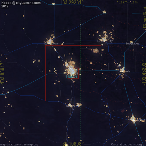
» Earth at Night: Flat Maps 2012, 2016