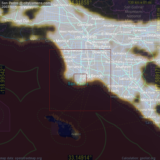
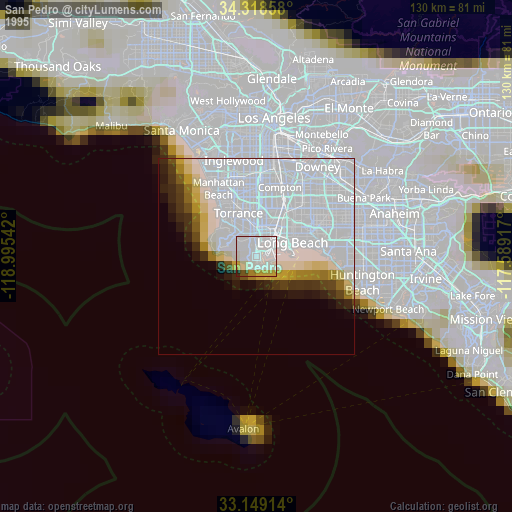
San Pedro night lights from space
Night Light of San Pedro (California) from space (United States) Src. Average luminocity for 10x10km area is 70.0696% and for 50x50km: 38.4824%.

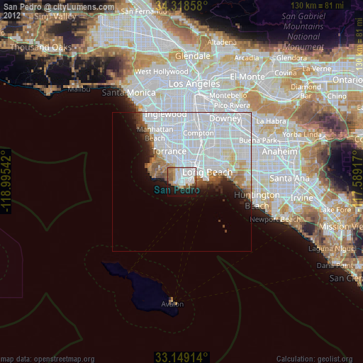
Analysis of San Pedro night lights 2016
Square area 10x10 km:
 27.29%
90-99
18.68%80-89
4.03%70-79
3.85%60-69
10.44%50-59
7.69%40-49
4.4%30-39
3.85%20-29
11.9%10-19
7.69%0-9
0.18%Square area 50x50 km:
22.9%90-99
8.41%80-89
1.26%70-79
1.16%60-69
2.37%50-59
2%40-49
1.56%30-39
1.4%20-29
2.82%10-19
4.36%0-9
51.75%Clear (daylight) street map image can be seen on geolist.org.
Map coordinates:
34° 19' 6.9" North, 118° 59' 43.5" West
33° 44' 9.1" North, 118° 17' 32.2" West
33° 8' 56.9" North, 117° 35' 21" West
Some cities around San Pedro sort by population:
• Long Beach
10.1 km =6.3 mi,  70°
70°
• Torrance
12 km =7.5 mi,  338°
338°
• Carson
10.7 km =6.6 mi,  5°
5°
• Rancho Palos Verdes
8.8 km =5.5 mi,  276°
276°
• West Carson
9.5 km =5.9 mi,  359°
359°
• Lomita
6.6 km =4.1 mi, 341°
• Palos Verdes Estates
11.8 km =7.3 mi,  308°
308°
• Rolling Hills Estates
8.4 km =5.2 mi, 313°
5392528 (p: 78,405)
Sources (retrieved 2019-11-25):
» NASA, Earths city lights 1995
» NASA city lights 2003
» Earth at Night: Flat Maps 2012, 2016