Long Beach night lights from space
Night Light of Long Beach (California) from space (United States) Src. Average luminocity for 10x10km area is 88.2344% and for 50x50km: 58.6755%.
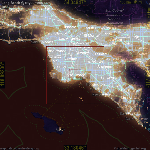

Analysis of Long Beach night lights 2016
Square area 10x10 km:
 47.62%
90-99
23.81%80-89
1.28%70-79
4.76%60-69
8.97%50-59
8.61%40-49
4.03%30-39
0.73%20-29
0.18%10-19
0%0-9
0%Square area 50x50 km:
33.44%90-99
14.9%80-89
2.72%70-79
2.92%60-69
3.14%50-59
2.13%40-49
1.63%30-39
1.49%20-29
3.29%10-19
4.64%0-9
29.69%Clear (daylight) street map image can be seen on geolist.org.
Map coordinates:
34° 20' 58.1" North, 118° 53' 32.5" West
33° 46' 1.1" North, 118° 11' 21.2" West
33° 10' 49.7" North, 117° 29' 10" West
Some cities around Long Beach sort by population:
• Carson
11.2 km =7 mi,  309°
309°
• Lakewood
10.9 km =6.8 mi,  27°
27°
• San Pedro
10.1 km =6.3 mi,  250°
250°
• Seal Beach
8.3 km =5.2 mi,  109°
109°
• West Carson
11.3 km =7 mi,  302°
302°
• Signal Hill
4.6 km =2.9 mi, 25°
• Los Alamitos
11.5 km =7.1 mi,  69°
69°
• Rossmoor
9.8 km =6.1 mi,  77°
77°
5367929 (p: 474,140)
Sources (retrieved 2019-11-25):
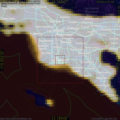
» NASA, Earths city lights 1995
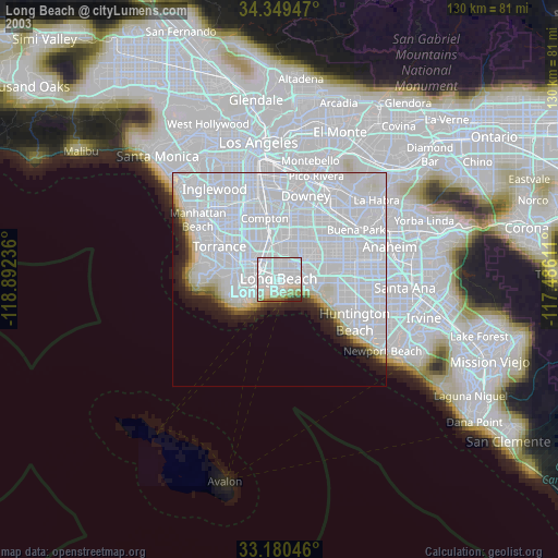
» NASA city lights 2003
» Earth at Night: Flat Maps 2012, 2016