San Francisco night lights from space
Night Light of San Francisco (California) from space (United States) Src. Average luminocity for 10x10km area is 86.1701% and for 50x50km: 34.253%.
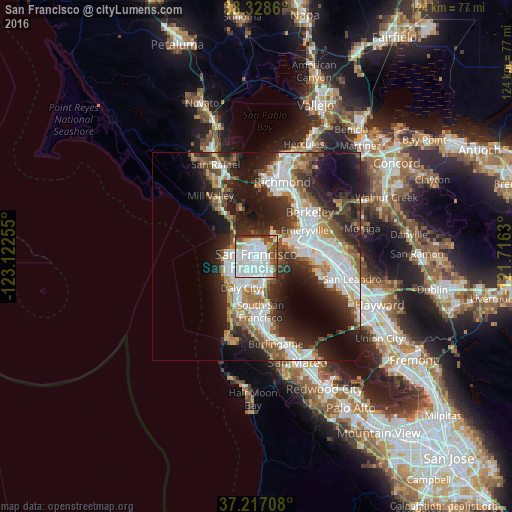
Analysis of San Francisco night lights 2016
Square area 10x10 km:
 47.96%
90-99
21.94%80-89
1.87%70-79
5.27%60-69
2.21%50-59
8.33%40-49
8.5%30-39
3.74%20-29
0.17%10-19
0%0-9
0%Square area 50x50 km:
9.09%90-99
7.33%80-89
1.87%70-79
3.72%60-69
3.83%50-59
4.28%40-49
4.94%30-39
5.05%20-29
9.8%10-19
13.52%0-9
36.56%Clear (daylight) street map image can be seen on geolist.org.
Map coordinates:
38° 19' 43" North, 123° 7' 21.2" West
37° 46' 29.7" North, 122° 25' 9.9" West
37° 13' 1.5" North, 121° 42' 58.7" West
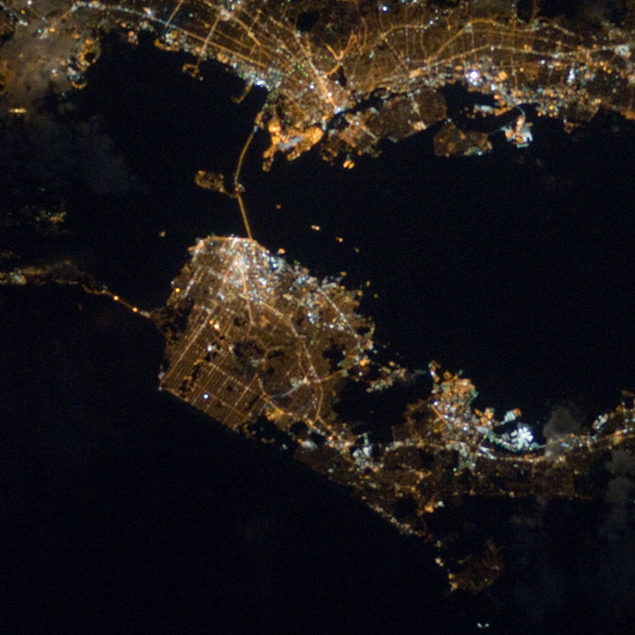
Fantastic image of San Francisco from space taken by astronauts [src2], but I don't have information about it's orientation, scale or angle. If necessary, it was rotated manually, so North points approximately to upper direction. Click to zoom in:
Some cities around San Francisco sort by population:
• Daly City
8.5 km =5.3 mi,  205°
205°
• Chinatown
2.6 km =1.6 mi,  21°
21°
• Mission District
1.7 km =1.1 mi,  179°
179°
• Noe Valley
3 km =1.9 mi,  204°
204°
• Visitacion Valley
6.6 km =4.1 mi,  168°
168°
• Emeryville
13.4 km =8.3 mi,  61°
61°
• Tiburon
11.4 km =7.1 mi,  343°
343°
• Sausalito
11 km =6.8 mi,  328°
328°
5391959 (p: 864,816)
Sources (retrieved 2019-11-25):
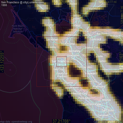
» NASA, Earths city lights 1995
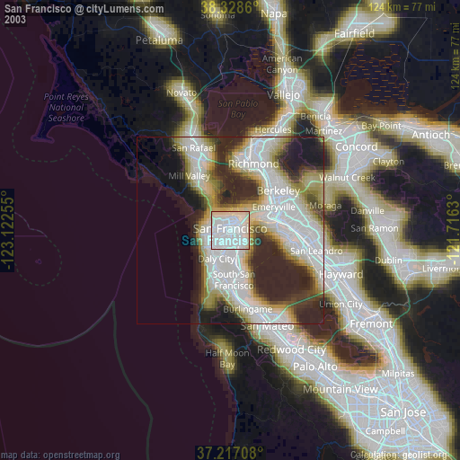
» NASA city lights 2003
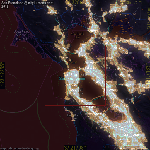
» Earth at Night: Flat Maps 2012, 2016
Src.2: NASA