Chinatown night lights from space
Night Light of Chinatown (California) from space (United States) Src. Average luminocity for 10x10km area is 70.8384% and for 50x50km: 35.162%.
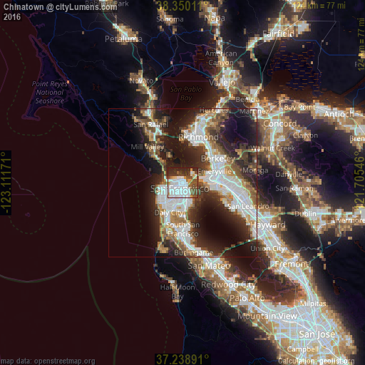
Analysis of Chinatown night lights 2016
Square area 10x10 km:
 32.82%
90-99
14.8%80-89
2.38%70-79
5.61%60-69
2.21%50-59
7.48%40-49
12.93%30-39
7.82%20-29
13.95%10-19
0%0-9
0%Square area 50x50 km:
9.13%90-99
7.39%80-89
1.94%70-79
3.86%60-69
4%50-59
4.39%40-49
5.3%30-39
5.24%20-29
10.43%10-19
14.29%0-9
34.03%Clear (daylight) street map image can be seen on geolist.org.
Map coordinates:
38° 21' 0.4" North, 123° 6' 42.2" West
37° 47' 47.8" North, 122° 24' 30.9" West
37° 14' 20.1" North, 121° 42' 19.7" West
Some cities around Chinatown sort by population:
• San Francisco
2.6 km =1.6 mi,  201°
201°
• Daly City
11.1 km =6.9 mi, 204°
• Mission District
4.2 km =2.6 mi,  192°
192°
• Noe Valley
5.6 km =3.5 mi, 203°
• Visitacion Valley
8.8 km =5.5 mi,  177°
177°
• Emeryville
11.5 km =7.1 mi,  70°
70°
• Tiburon
9.5 km =5.9 mi,  333°
333°
• Sausalito
9.7 km =6 mi,  315°
315°
5336477 (p: 100,574)
Sources (retrieved 2019-11-25):
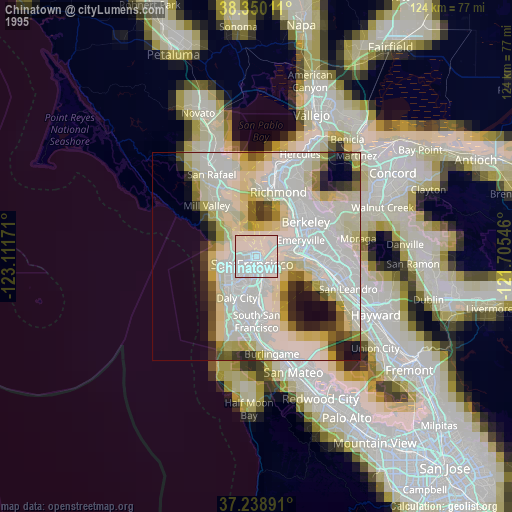
» NASA, Earths city lights 1995
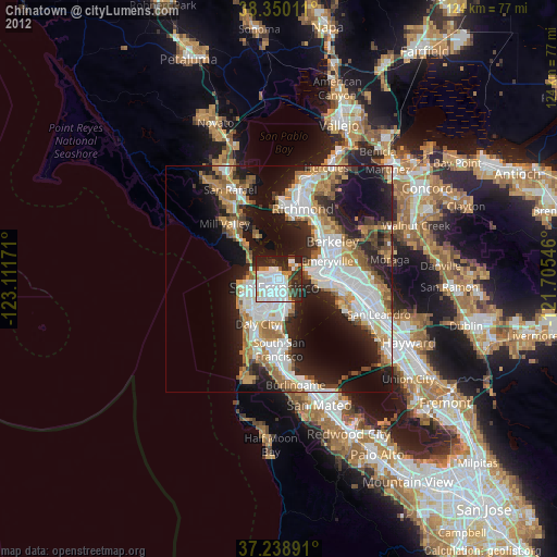
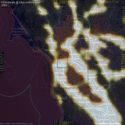
» NASA city lights 2003
» Earth at Night: Flat Maps 2012, 2016