Sausalito night lights from space
Night Light of Sausalito (California) from space (United States) Src. Average luminocity for 10x10km area is 29.1039% and for 50x50km: 28.7478%.
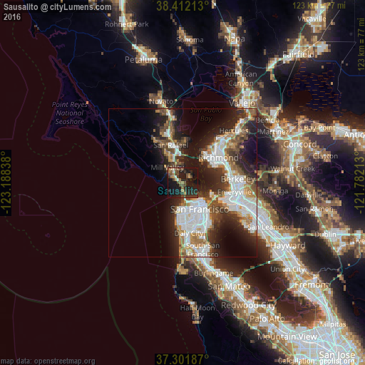
Analysis of Sausalito night lights 2016
Square area 10x10 km:
 0.81%
0.81%90-99
1.79%80-89
2.27%70-79
1.79%60-69
3.9%50-59
7.14%40-49
9.9%30-39
6.82%20-29
15.42%10-19
41.56%0-9
8.6%Square area 50x50 km:
7.41%90-99
5.96%80-89
1.66%70-79
3.24%60-69
3.33%50-59
3.54%40-49
4.26%30-39
4.16%20-29
8.21%10-19
12.58%0-9
45.65%Clear (daylight) street map image can be seen on geolist.org.
Map coordinates:
38° 24' 43.7" North, 123° 11' 18.2" West
37° 51' 32.7" North, 122° 29' 6.9" West
37° 18' 6.7" North, 121° 46' 55.7" West
Some cities around Sausalito sort by population:
• Chinatown
9.7 km =6 mi,  135°
135°
• Mill Valley
7.4 km =4.6 mi,  314°
314°
• Larkspur
9.4 km =5.8 mi,  332°
332°
• Tamalpais-Homestead Valley
5 km =3.1 mi,  295°
295°
• Corte Madera
8.3 km =5.2 mi, 333°
• Tiburon
3 km =1.9 mi,  57°
57°
• Tamalpais Valley
5.8 km =3.6 mi,  293°
293°
• Strawberry
4.7 km =2.9 mi, 333°
5393611 (p: 7,156)
Sources (retrieved 2019-11-25):
» Earth at Night: Flat Maps 2012, 2016