San Carlos night lights from space
Night Light of San Carlos (California) from space (United States) Src. Average luminocity for 10x10km area is 66.4497% and for 50x50km: 35.7485%.
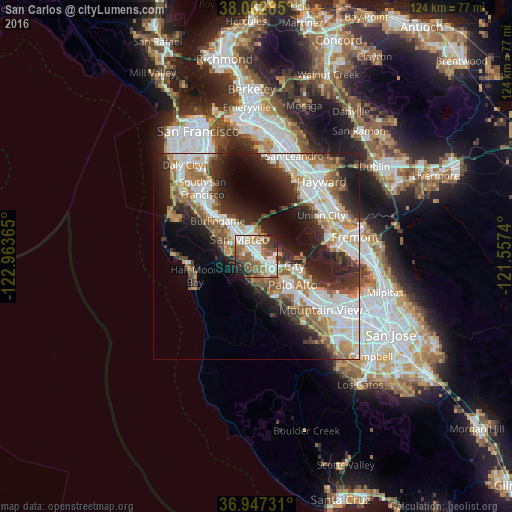
Analysis of San Carlos night lights 2016
Square area 10x10 km:
 15.1%
15.1%90-99
17.37%80-89
4.22%70-79
6.82%60-69
9.9%50-59
18.67%40-49
11.53%30-39
4.22%20-29
7.31%10-19
4.87%0-9
0%Square area 50x50 km:
8.24%90-99
8.22%80-89
2.05%70-79
4.79%60-69
5.24%50-59
5.34%40-49
4.06%30-39
4.49%20-29
8.86%10-19
11.85%0-9
36.87%Clear (daylight) street map image can be seen on geolist.org.
Map coordinates:
38° 3' 46.3" North, 122° 57' 49.1" West
37° 30' 25.8" North, 122° 15' 37.9" West
36° 56' 50.3" North, 121° 33' 26.6" West
Some cities around San Carlos sort by population:
• San Mateo
8.4 km =5.2 mi,  317°
317°
• Redwood City
3.2 km =2 mi,  138°
138°
• Foster City
5.8 km =3.6 mi,  350°
350°
• Belmont
2 km =1.2 mi, 317°
• North Fair Oaks
6.7 km =4.2 mi,  122°
122°
• Redwood Shores
3 km =1.9 mi,  21°
21°
• Atherton
7.5 km =4.7 mi,  132°
132°
• Woodside
8.6 km =5.3 mi,  176°
176°
5391760 (p: 29,931)
Sources (retrieved 2019-11-25):
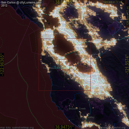
» Earth at Night: Flat Maps 2012, 2016