Redwood City night lights from space
Night Light of Redwood City (California) from space (United States) Src. Average luminocity for 10x10km area is 64.8425% and for 50x50km: 36.3206%.
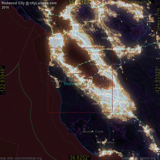
Analysis of Redwood City night lights 2016
Square area 10x10 km:
 13.8%
13.8%90-99
13.8%80-89
3.25%70-79
6.17%60-69
10.06%50-59
25.16%40-49
14.29%30-39
5.52%20-29
4.38%10-19
3.41%0-9
0.16%Square area 50x50 km:
8.46%90-99
8.35%80-89
2.29%70-79
4.92%60-69
5.38%50-59
5.45%40-49
3.96%30-39
4.53%20-29
8.53%10-19
11.41%0-9
36.72%Clear (daylight) street map image can be seen on geolist.org.
Map coordinates:
38° 2' 27.9" North, 122° 56' 22.1" West
37° 29' 6.8" North, 122° 14' 10.9" West
36° 55' 30.7" North, 121° 31' 59.6" West
Some cities around Redwood City sort by population:
• Foster City
8.7 km =5.4 mi,  339°
339°
• Menlo Park
5.9 km =3.7 mi,  126°
126°
• San Carlos
3.2 km =2 mi,  318°
318°
• East Palo Alto
8.6 km =5.3 mi,  102°
102°
• Belmont
5.2 km =3.2 mi, 318°
• North Fair Oaks
3.7 km =2.3 mi,  108°
108°
• Atherton
4.3 km =2.7 mi, 127°
• Woodside
6.3 km =3.9 mi,  194°
194°
5386834 (p: 85,288)
Sources (retrieved 2019-11-25):
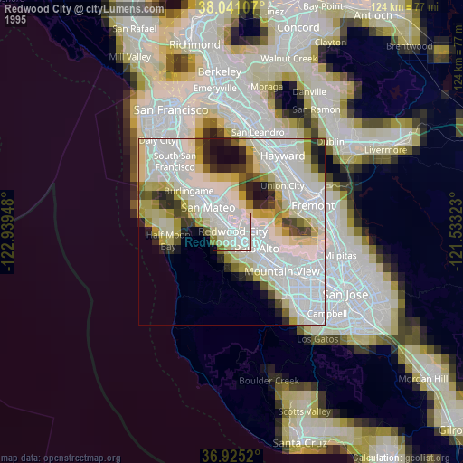
» NASA, Earths city lights 1995
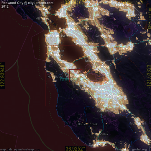
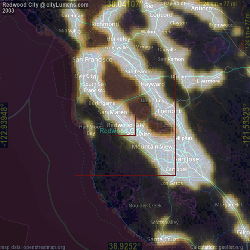
» NASA city lights 2003
» Earth at Night: Flat Maps 2012, 2016