Belmont night lights from space
Night Light of Belmont (California) from space (United States) Src. Average luminocity for 10x10km area is 68.3734% and for 50x50km: 35.3542%.
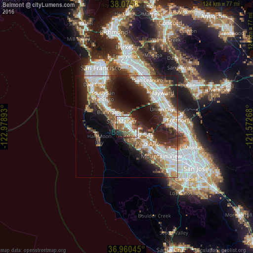
Analysis of Belmont night lights 2016
Square area 10x10 km:
 15.91%
90-99
18.99%80-89
3.9%70-79
9.74%60-69
9.74%50-59
18.02%40-49
8.12%30-39
3.08%20-29
7.95%10-19
4.38%0-9
0.16%Square area 50x50 km:
8.31%90-99
8.08%80-89
1.95%70-79
4.71%60-69
5.15%50-59
5.16%40-49
4.03%30-39
4.26%20-29
9.04%10-19
11.7%0-9
37.61%Clear (daylight) street map image can be seen on geolist.org.
Map coordinates:
38° 4' 32.9" North, 122° 58' 44.1" West
37° 31' 12.8" North, 122° 16' 32.9" West
36° 57' 37.6" North, 121° 34' 21.6" West
Some cities around Belmont sort by population:
• San Mateo
6.5 km =4 mi,  317°
317°
• Redwood City
5.2 km =3.2 mi,  138°
138°
• Foster City
4.3 km =2.7 mi,  5°
5°
• San Carlos
2 km =1.2 mi, 137°
• North Fair Oaks
8.6 km =5.3 mi,  126°
126°
• Redwood Shores
2.8 km =1.7 mi,  62°
62°
• Atherton
9.5 km =5.9 mi, 133°
• Woodside
10.2 km =6.3 mi,  169°
169°
5327455 (p: 27,218)
Sources (retrieved 2019-11-25):
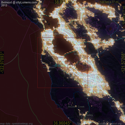
» Earth at Night: Flat Maps 2012, 2016