Redwood Shores night lights from space
Night Light of Redwood Shores (California) from space (United States) Src. Average luminocity for 10x10km area is 63.1997% and for 50x50km: 39.5258%.
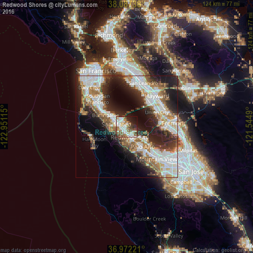
Analysis of Redwood Shores night lights 2016
Square area 10x10 km:
 16.23%
90-99
16.88%80-89
3.25%70-79
7.79%60-69
6.82%50-59
15.75%40-49
7.95%30-39
6.01%20-29
7.63%10-19
9.25%0-9
2.44%Square area 50x50 km:
9.99%90-99
9.22%80-89
2.17%70-79
5.03%60-69
5.33%50-59
5.45%40-49
4.34%30-39
4.92%20-29
10.01%10-19
12.84%0-9
30.69%Clear (daylight) street map image can be seen on geolist.org.
Map coordinates:
38° 5' 14.6" North, 122° 57' 4.1" West
37° 31' 54.8" North, 122° 14' 52.9" West
36° 58' 20" North, 121° 32' 41.6" West
Some cities around Redwood Shores sort by population:
• San Mateo
7.7 km =4.8 mi,  296°
296°
• Foster City
3.6 km =2.2 mi,  325°
325°
• Menlo Park
10.4 km =6.5 mi,  146°
146°
• San Carlos
3 km =1.9 mi,  201°
201°
• Belmont
2.8 km =1.7 mi,  242°
242°
• North Fair Oaks
7.8 km =4.8 mi,  144°
144°
• Atherton
9 km =5.6 mi, 150°
• Woodside
11.3 km =7 mi,  182°
182°
5386932 (p: 10,500)
Sources (retrieved 2019-11-25):
» Earth at Night: Flat Maps 2012, 2016