Atherton night lights from space
Night Light of Atherton (California) from space (United States) Src. Average luminocity for 10x10km area is 71.0357% and for 50x50km: 37.7985%.
Analysis of Atherton night lights 2016
Square area 10x10 km:
 18.18%
90-99
16.88%80-89
3.9%70-79
8.93%60-69
15.75%50-59
19.32%40-49
5.36%30-39
3.73%20-29
6.82%10-19
1.14%0-9
0%Square area 50x50 km:
9.87%90-99
8.88%80-89
2.46%70-79
4.49%60-69
5.49%50-59
5.41%40-49
3.95%30-39
4.1%20-29
8.06%10-19
11.34%0-9
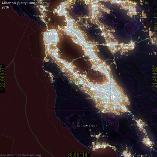
35.95%Clear (daylight) street map image can be seen on geolist.org.
Map coordinates:
38° 1' 2.5" North, 122° 54' 3.1" West
37° 27' 40.8" North, 122° 11' 51.9" West
36° 54' 4.1" North, 121° 29' 40.6" West
Some cities around Atherton sort by population:
• Redwood City
4.3 km =2.7 mi,  307°
307°
• Palo Alto
5.3 km =3.3 mi,  114°
114°
• Menlo Park
1.6 km =1 mi,  121°
121°
• San Carlos
7.5 km =4.7 mi, 312°
• East Palo Alto
5.1 km =3.2 mi,  80°
80°
• North Fair Oaks
1.5 km =0.9 mi,  3°
3°
• Stanford
5 km =3.1 mi,  145°
145°
• Woodside
6.1 km =3.8 mi,  234°
234°
5325147 (p: 7,167)
Sources (retrieved 2019-11-25):
» Earth at Night: Flat Maps 2012, 2016