Portland night lights from space
Night Light of Portland (Indiana) from space (United States) Src. Average luminocity for 10x10km area is 17.2211% and for 50x50km: 1.6823%.
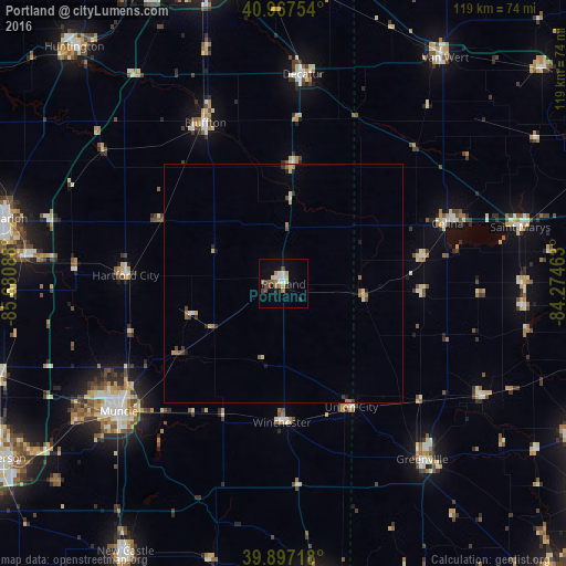
Analysis of Portland night lights 2016
Square area 10x10 km:
 3.23%
3.23%90-99
1.87%80-89
1.87%70-79
2.04%60-69
1.87%50-59
2.89%40-49
2.89%30-39
1.53%20-29
1.53%10-19
6.46%0-9
73.81%Square area 50x50 km:
0.13%90-99
0.18%80-89
0.27%70-79
0.19%60-69
0.24%50-59
0.31%40-49
0.25%30-39
0.2%20-29
0.2%10-19
0.42%0-9
97.6%Clear (daylight) street map image can be seen on geolist.org.
Map coordinates:
40° 58' 3.1" North, 85° 40' 51.2" West
40° 26' 4.2" North, 84° 58' 39.9" West
39° 53' 49.8" North, 84° 16' 28.7" West
Some cities around Portland sort by population:
• Muncie
43.8 km =27.2 mi,  232°
232°
• Greenville
47.1 km =29.3 mi,  141°
141°
• Yorktown
52.5 km =32.6 mi,  236°
236°
• Celina
36.7 km =22.8 mi,  69°
69°
• Bluffton
37.6 km =23.4 mi,  334°
334°
• Decatur
44.2 km =27.5 mi,  5°
5°
• Saint Marys
51.2 km =31.8 mi,  76°
76°
• Hartford City
33.2 km =20.6 mi,  273°
273°
4925037 (p: 6,186)
Sources (retrieved 2019-11-25):
» Earth at Night: Flat Maps 2012, 2016