Celina night lights from space
Night Light of Celina (Ohio) from space (United States) Src. Average luminocity for 10x10km area is 20.4805% and for 50x50km: 4.3877%.
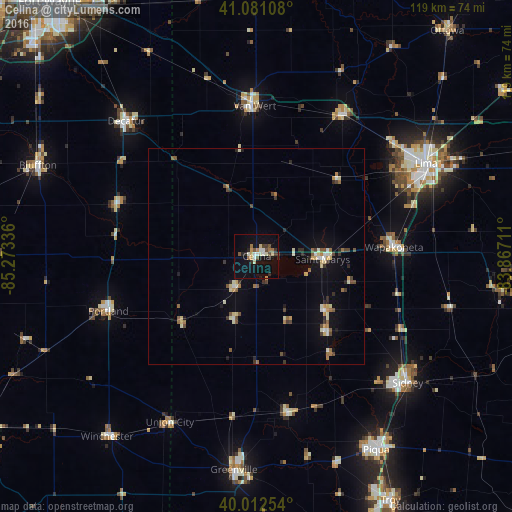
Analysis of Celina night lights 2016
Square area 10x10 km:
 1.79%
1.79%90-99
4.06%80-89
2.44%70-79
2.27%60-69
2.76%50-59
1.62%40-49
2.92%30-39
1.95%20-29
3.57%10-19
18.51%0-9
58.12%Square area 50x50 km:
0.25%90-99
0.76%80-89
0.63%70-79
0.39%60-69
0.57%50-59
0.57%40-49
0.68%30-39
0.52%20-29
0.69%10-19
2.13%0-9
92.8%Clear (daylight) street map image can be seen on geolist.org.
Map coordinates:
41° 4' 51.9" North, 85° 16' 24.1" West
40° 32' 56.2" North, 84° 34' 12.8" West
40° 0' 45.1" North, 83° 52' 1.6" West
Some cities around Celina sort by population:
• Lima
44.7 km =27.8 mi,  61°
61°
• Sidney
45.8 km =28.5 mi,  129°
129°
• Van Wert
35.7 km =22.2 mi,  358°
358°
• Wapakoneta
31.9 km =19.8 mi,  86°
86°
• Decatur
43.5 km =27 mi,  315°
315°
• Saint Marys
15.3 km =9.5 mi, 92°
• Delphos
38 km =23.6 mi,  30°
30°
• Portland
36.7 km =22.8 mi,  249°
249°
5149493 (p: 10,387)
Sources (retrieved 2019-11-25):
» Earth at Night: Flat Maps 2012, 2016