Saint Cloud night lights from space
Night Light of Saint Cloud (Florida) from space (United States) Src. Average luminocity for 10x10km area is 61.3532% and for 50x50km: 35.1576%.
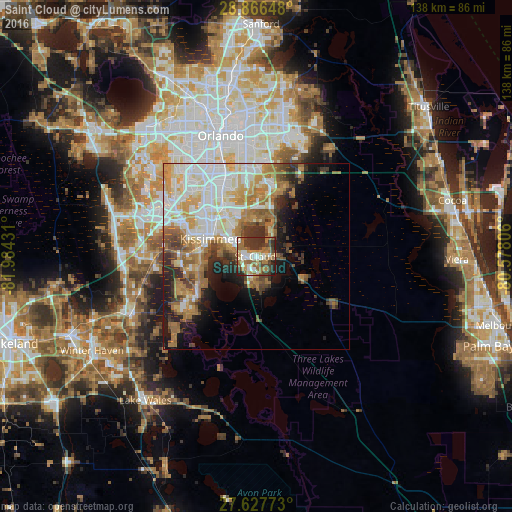
Analysis of Saint Cloud night lights 2016
Square area 10x10 km:
 9.52%
9.52%90-99
11.11%80-89
5.95%70-79
5.16%60-69
25%50-59
6.75%40-49
9.72%30-39
18.65%20-29
7.94%10-19
0.2%0-9
0%Square area 50x50 km:
8.04%90-99
7.7%80-89
4%70-79
4.76%60-69
7.71%50-59
3.84%40-49
3.62%30-39
4.04%20-29
4.44%10-19
7.14%0-9
44.72%Clear (daylight) street map image can be seen on geolist.org.
Map coordinates:
28° 51' 59.3" North, 81° 59' 3.5" West
28° 14' 56" North, 81° 16' 52.2" West
27° 37' 39.8" North, 80° 34' 41" West
Some cities around Saint Cloud sort by population:
• Kissimmee
14.6 km =9.1 mi,  295°
295°
• Poinciana
21.2 km =13.2 mi,  235°
235°
• Buenaventura Lakes
12 km =7.5 mi,  323°
323°
• Meadow Woods
17.3 km =10.7 mi,  331°
331°
• Southchase
18.9 km =11.7 mi, 328°
• Hunters Creek
18.6 km =11.6 mi,  311°
311°
• Williamsburg
24.3 km =15.1 mi, 319°
• Belle Isle
24.5 km =15.2 mi,  341°
341°
4170965 (p: 35,183)
Sources (retrieved 2019-11-25):
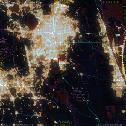
» Earth at Night: Flat Maps 2012, 2016