Meadow Woods night lights from space
Night Light of Meadow Woods (Florida) from space (United States) Src. Average luminocity for 10x10km area is 94.0615% and for 50x50km: 68.0607%.
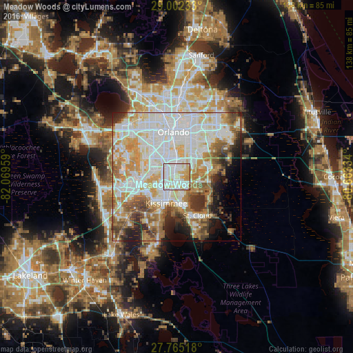
Analysis of Meadow Woods night lights 2016
Square area 10x10 km:
 38.69%
90-99
35.12%80-89
14.88%70-79
10.91%60-69
0.4%50-59
0%40-49
0%30-39
0%20-29
0%10-19
0%0-9
0%Square area 50x50 km:
21.58%90-99
19.32%80-89
7.65%70-79
8.52%60-69
9.87%50-59
5.16%40-49
4.64%30-39
4.28%20-29
4.76%10-19
5.02%0-9
9.2%Clear (daylight) street map image can be seen on geolist.org.
Map coordinates:
29° 0' 8.4" North, 82° 4' 10.5" West
28° 23' 8" North, 81° 21' 59.3" West
27° 45' 54.6" North, 80° 39' 48" West
Some cities around Meadow Woods sort by population:
• Kissimmee
10.2 km =6.3 mi,  208°
208°
• Buenaventura Lakes
5.7 km =3.5 mi,  166°
166°
• Southchase
1.9 km =1.2 mi,  296°
296°
• Hunters Creek
6.1 km =3.8 mi,  243°
243°
• Pine Castle
9.6 km =6 mi,  359°
359°
• Williamsburg
8.1 km =5 mi,  293°
293°
• Belle Isle
8.1 km =5 mi,  4°
4°
• Sky Lake
8.3 km =5.2 mi,  342°
342°
4163918 (p: 25,558)
Sources (retrieved 2019-11-25):
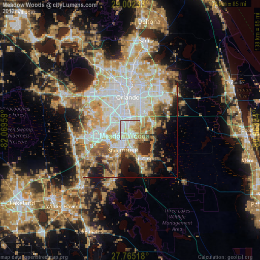
» Earth at Night: Flat Maps 2012, 2016