Buenaventura Lakes night lights from space
Night Light of Buenaventura Lakes (Florida) from space (United States) Src. Average luminocity for 10x10km area is 87.6508% and for 50x50km: 58.9176%.
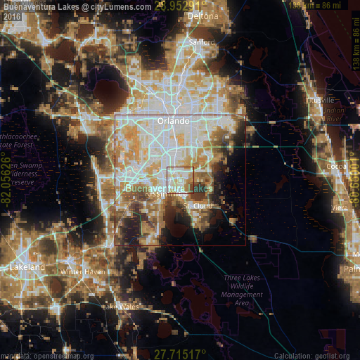
Analysis of Buenaventura Lakes night lights 2016
Square area 10x10 km:
 28.77%
90-99
29.56%80-89
17.46%70-79
8.33%60-69
8.73%50-59
3.57%40-49
2.18%30-39
1.39%20-29
0%10-19
0%0-9
0%Square area 50x50 km:
17.77%90-99
15.24%80-89
6.26%70-79
8.07%60-69
9.54%50-59
4.89%40-49
4.51%30-39
4.48%20-29
5.15%10-19
7%0-9
17.08%Clear (daylight) street map image can be seen on geolist.org.
Map coordinates:
28° 57' 10.5" North, 82° 3' 22.5" West
28° 20' 9" North, 81° 21' 11.3" West
27° 42' 54.6" North, 80° 39' 0" West
Some cities around Buenaventura Lakes sort by population:
• Kissimmee
7.1 km =4.4 mi,  240°
240°
• Saint Cloud
12 km =7.5 mi,  143°
143°
• Meadow Woods
5.7 km =3.5 mi,  346°
346°
• Southchase
7 km =4.3 mi,  335°
335°
• Hunters Creek
7.3 km =4.5 mi,  292°
292°
• Williamsburg
12.4 km =7.7 mi,  314°
314°
• Belle Isle
13.6 km =8.5 mi,  357°
357°
• Sky Lake
14 km =8.7 mi, 344°
4149269 (p: 26,079)
Sources (retrieved 2019-11-25):
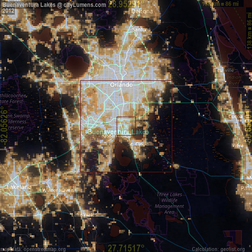
» Earth at Night: Flat Maps 2012, 2016