Rushville night lights from space
Night Light of Rushville (Indiana) from space (United States) Src. Average luminocity for 10x10km area is 12.6916% and for 50x50km: 2.4558%.
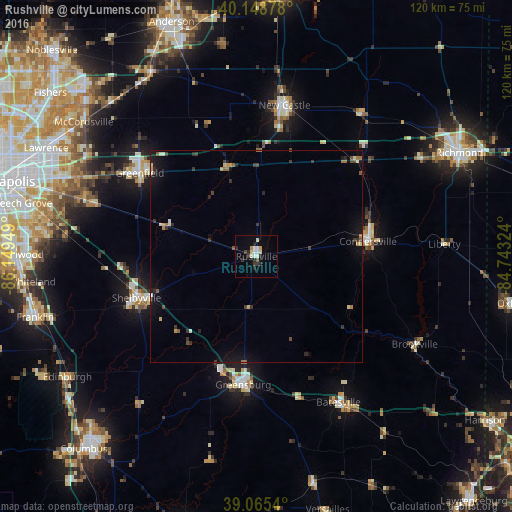
Analysis of Rushville night lights 2016
Square area 10x10 km:
 2.11%
2.11%90-99
3.57%80-89
0.81%70-79
1.3%60-69
0%50-59
0.65%40-49
0.65%30-39
1.79%20-29
4.55%10-19
1.3%0-9
83.28%Square area 50x50 km:
0.14%90-99
0.34%80-89
0.22%70-79
0.23%60-69
0.28%50-59
0.23%40-49
0.29%30-39
0.6%20-29
0.58%10-19
1.75%0-9
95.33%Clear (daylight) street map image can be seen on geolist.org.
Map coordinates:
40° 8' 55.6" North, 86° 8' 58.2" West
39° 36' 33.2" North, 85° 26' 46.9" West
39° 3' 55.4" North, 84° 44' 35.7" West
Some cities around Rushville sort by population:
• Greenfield
33.9 km =21.1 mi,  305°
305°
• Shelbyville
30 km =18.6 mi,  250°
250°
• New Castle
36.1 km =22.4 mi,  10°
10°
• Connersville
26.4 km =16.4 mi,  82°
82°
• Greensburg
30.4 km =18.9 mi,  186°
186°
• Batesville
39.4 km =24.5 mi,  150°
150°
• McCordsville
52.6 km =32.7 mi, 309°
• Cumberland
47.5 km =29.5 mi,  293°
293°
4263965 (p: 6,077)
Sources (retrieved 2019-11-25):
» Earth at Night: Flat Maps 2012, 2016