Greenfield night lights from space
Night Light of Greenfield (Indiana) from space (United States) Src. Average luminocity for 10x10km area is 41.7211% and for 50x50km: 22.5051%.
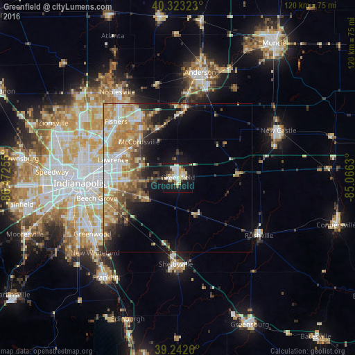
Analysis of Greenfield night lights 2016
Square area 10x10 km:
 6.97%
6.97%90-99
11.05%80-89
7.65%70-79
5.61%60-69
1.7%50-59
3.74%40-49
0.68%30-39
3.23%20-29
10.03%10-19
42.01%0-9
7.31%Square area 50x50 km:
3.9%90-99
4.09%80-89
2.96%70-79
4.37%60-69
4.11%50-59
2.48%40-49
2.54%30-39
2.56%20-29
3.64%10-19
8.68%0-9
60.66%Clear (daylight) street map image can be seen on geolist.org.
Map coordinates:
40° 19' 23.6" North, 86° 28' 21.2" West
39° 47' 6.1" North, 85° 46' 9.9" West
39° 14' 33.4" North, 85° 3' 58.7" West
Some cities around Greenfield sort by population:
• Indianapolis
33.3 km =20.7 mi,  266°
266°
• Fishers
28.2 km =17.5 mi,  312°
312°
• Lawrence
22.6 km =14 mi,  285°
285°
• Shelbyville
29.3 km =18.2 mi,  181°
181°
• Broad Ripple
33.1 km =20.6 mi, 285°
• Beech Grove
28.3 km =17.6 mi,  255°
255°
• McCordsville
18.9 km =11.7 mi,  316°
316°
• Cumberland
16.1 km =10 mi, 266°
4258285 (p: 21,497)
Sources (retrieved 2019-11-25):
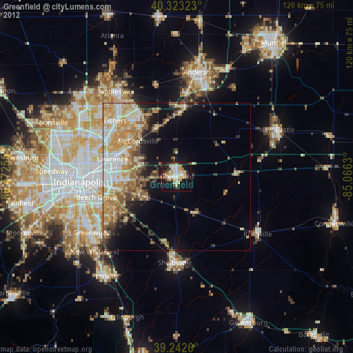
» Earth at Night: Flat Maps 2012, 2016