La Habra Heights night lights from space
Night Light of La Habra Heights (California) from space (United States) Src. Average luminocity for 10x10km area is 84.8304% and for 50x50km: 83.9382%.
Analysis of La Habra Heights night lights 2016
Square area 10x10 km:
 23.43%
90-99
22.73%80-89
6.47%70-79
30.59%60-69
16.78%50-59
0%40-49
0%30-39
0%20-29
0%10-19
0%0-9
0%Square area 50x50 km:
35.49%90-99
24.4%80-89
7.81%70-79
9.49%60-69
8.37%50-59
4.42%40-49
3.77%30-39
2.34%20-29
1.66%10-19
1.99%0-9
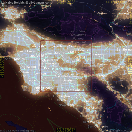
0.26%Clear (daylight) street map image can be seen on geolist.org.
Map coordinates:
34° 32' 31.3" North, 118° 39' 13.5" West
33° 57' 39.1" North, 117° 57' 2.2" West
33° 22' 32.4" North, 117° 14' 51" West
Some cities around La Habra Heights sort by population:
• Whittier
7.9 km =4.9 mi,  285°
285°
• Hacienda Heights
4 km =2.5 mi,  335°
335°
• La Mirada
7.5 km =4.7 mi,  229°
229°
• Rowland Heights
4.5 km =2.8 mi,  67°
67°
• Brea
6.8 km =4.2 mi,  136°
136°
• La Puente
6.6 km =4.1 mi,  0°
0°
• South San Jose Hills
7.2 km =4.5 mi,  36°
36°
• East La Mirada
5.4 km =3.4 mi,  221°
221°
5363925 (p: 5,454)
Sources (retrieved 2019-11-25):
» Earth at Night: Flat Maps 2012, 2016