La Habra night lights from space
Night Light of La Habra (California) from space (United States) Src. Average luminocity for 10x10km area is 84.9143% and for 50x50km: 85.4832%.
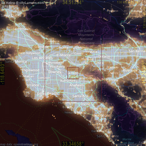
Analysis of La Habra night lights 2016
Square area 10x10 km:
 19.76%
90-99
23.6%80-89
12.59%70-79
30.42%60-69
13.64%50-59
0%40-49
0%30-39
0%20-29
0%10-19
0%0-9
0%Square area 50x50 km:
36.53%90-99
25.56%80-89
7.99%70-79
9.49%60-69
7.61%50-59
4.39%40-49
3.82%30-39
2.23%20-29
1.3%10-19
0.86%0-9
0.23%Clear (daylight) street map image can be seen on geolist.org.
Map coordinates:
34° 30' 48" North, 118° 38' 57.5" West
33° 55' 55.1" North, 117° 56' 46.2" West
33° 20' 47.7" North, 117° 14' 35" West
Some cities around La Habra sort by population:
• Fullerton
7.1 km =4.4 mi,  164°
164°
• Buena Park
8.6 km =5.3 mi,  213°
213°
• South Whittier
8.8 km =5.5 mi,  283°
283°
• Hacienda Heights
7.1 km =4.4 mi,  343°
343°
• La Mirada
6.3 km =3.9 mi,  254°
254°
• Rowland Heights
6.2 km =3.9 mi,  37°
37°
• Brea
4.6 km =2.9 mi,  111°
111°
• East La Mirada
4 km =2.5 mi,  258°
258°
5363922 (p: 62,131)
Sources (retrieved 2019-11-25):
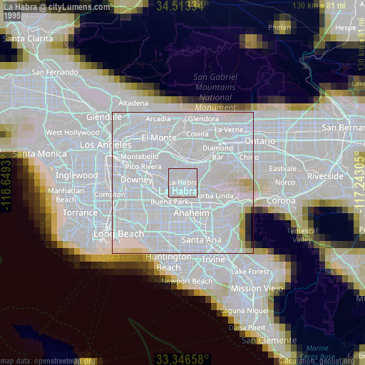
» NASA, Earths city lights 1995
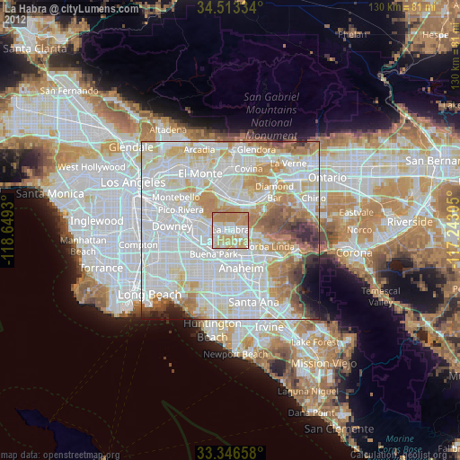
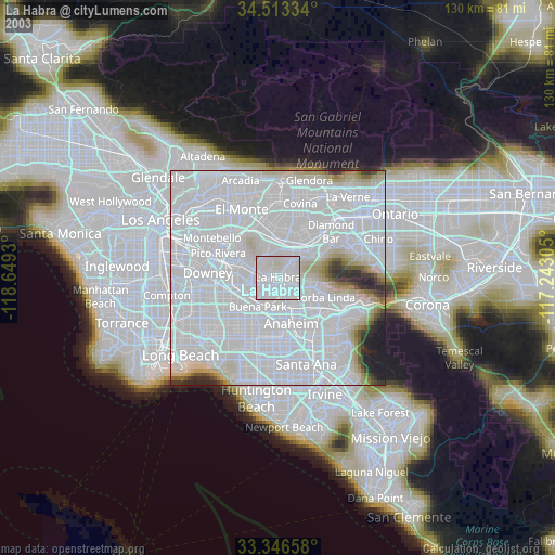
» NASA city lights 2003
» Earth at Night: Flat Maps 2012, 2016