Roselle night lights from space
Night Light of Roselle (New Jersey) from space (United States) Src. Average luminocity for 10x10km area is 97.5195% and for 50x50km: 76.8335%.
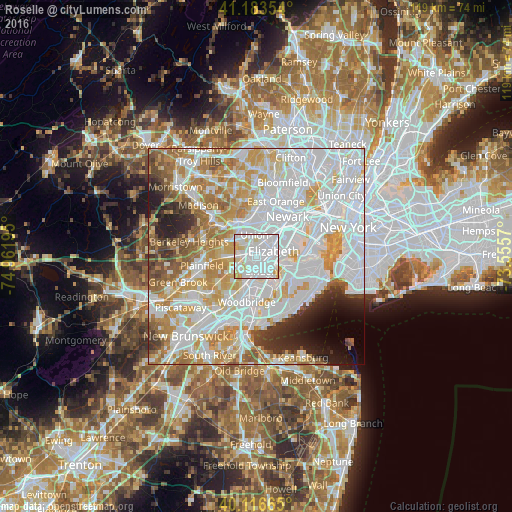
Analysis of Roselle night lights 2016
Square area 10x10 km:
 62.01%
90-99
26.3%80-89
10.06%70-79
1.62%60-69
0%50-59
0%40-49
0%30-39
0%20-29
0%10-19
0%0-9
0%Square area 50x50 km:
31.79%90-99
19.22%80-89
8.46%70-79
10.35%60-69
7.71%50-59
4.43%40-49
2.87%30-39
3.12%20-29
4.34%10-19
3.52%0-9
4.17%Clear (daylight) street map image can be seen on geolist.org.
Map coordinates:
41° 11' 0.7" North, 74° 57' 43" West
40° 39' 8" North, 74° 15' 31.8" West
40° 6' 59.9" North, 73° 33' 20.5" West
Some cities around Roselle sort by population:
• Elizabeth
4.3 km =2.7 mi,  72°
72°
• Union
5.1 km =3.2 mi,  355°
355°
• Linden
3.6 km =2.2 mi,  160°
160°
• Rahway
5.2 km =3.2 mi,  197°
197°
• Cranford
3.5 km =2.2 mi,  281°
281°
• Hillside
6 km =3.7 mi,  23°
23°
• Clark
4.6 km =2.9 mi,  253°
253°
• Kenilworth
3.8 km =2.4 mi,  315°
315°
5103500 (p: 21,670)
Sources (retrieved 2019-11-25):
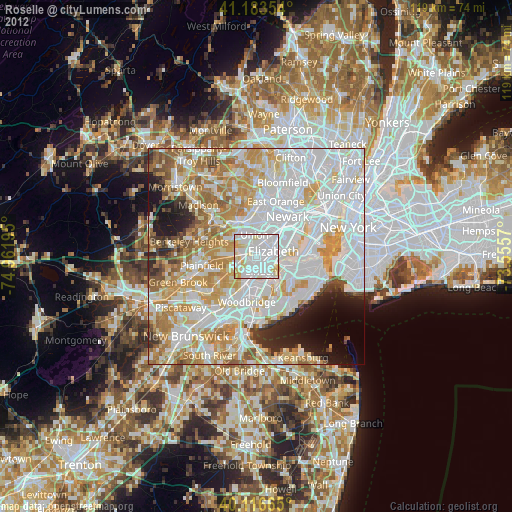
» Earth at Night: Flat Maps 2012, 2016