Hillside night lights from space
Night Light of Hillside (New Jersey) from space (United States) Src. Average luminocity for 10x10km area is 99.1867% and for 50x50km: 80.6513%.
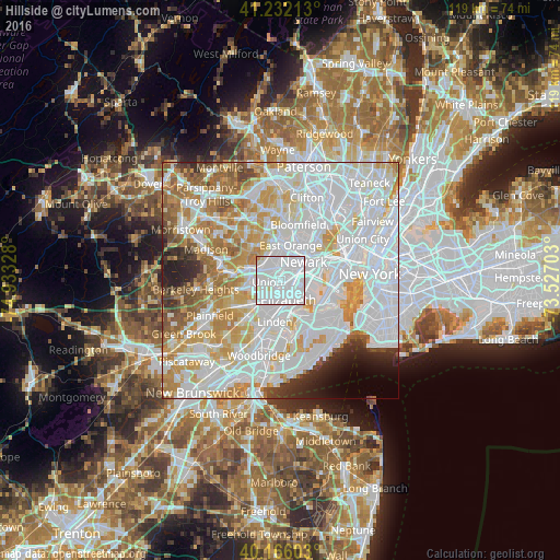
Analysis of Hillside night lights 2016
Square area 10x10 km:
 78.08%
90-99
18.67%80-89
2.6%70-79
0.65%60-69
0%50-59
0%40-49
0%30-39
0%20-29
0%10-19
0%0-9
0%Square area 50x50 km:
36.65%90-99
20.44%80-89
8.23%70-79
9.85%60-69
7.02%50-59
3.93%40-49
2.45%30-39
2.31%20-29
3.31%10-19
2.21%0-9
3.6%Clear (daylight) street map image can be seen on geolist.org.
Map coordinates:
41° 13' 55.7" North, 74° 55' 59.8" West
40° 42' 4.4" North, 74° 13' 48.5" West
40° 9' 57.7" North, 73° 31' 37.3" West
Some cities around Hillside sort by population:
• Elizabeth
4.5 km =2.8 mi,  158°
158°
• Irvington
3.5 km =2.2 mi,  353°
353°
• Union
2.8 km =1.7 mi,  261°
261°
• Maplewood
4.9 km =3 mi,  312°
312°
• Roselle
6 km =3.7 mi,  203°
203°
• South Orange
5.9 km =3.7 mi,  333°
333°
• Roselle Park
5 km =3.1 mi,  215°
215°
• Kenilworth
5.8 km =3.6 mi,  241°
241°
5099093 (p: 22,155)
Sources (retrieved 2019-11-25):
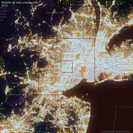
» Earth at Night: Flat Maps 2012, 2016