Elizabeth night lights from space
Night Light of Elizabeth (New Jersey) from space (United States) Src. Average luminocity for 10x10km area is 98.7321% and for 50x50km: 78.8078%.
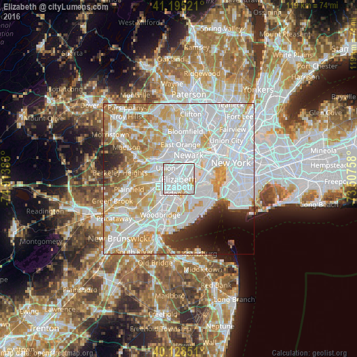
Analysis of Elizabeth night lights 2016
Square area 10x10 km:
 77.27%
90-99
17.86%80-89
3.57%70-79
1.3%60-69
0%50-59
0%40-49
0%30-39
0%20-29
0%10-19
0%0-9
0%Square area 50x50 km:
36.87%90-99
19.73%80-89
8.05%70-79
9.44%60-69
6.52%50-59
2.98%40-49
1.7%30-39
2.37%20-29
3.62%10-19
2.96%0-9
5.76%Clear (daylight) street map image can be seen on geolist.org.
Map coordinates:
41° 11' 42.8" North, 74° 54' 49.8" West
40° 39' 50.4" North, 74° 12' 38.5" West
40° 7' 42.6" North, 73° 30' 27.3" West
Some cities around Elizabeth sort by population:
• Union
5.8 km =3.6 mi,  310°
310°
• Linden
5.5 km =3.4 mi,  211°
211°
• Hillside
4.5 km =2.8 mi,  338°
338°
• Roselle
4.3 km =2.7 mi,  252°
252°
• Mariners Harbor
5.3 km =3.3 mi,  124°
124°
• Graniteville
6.8 km =4.2 mi,  129°
129°
• Roselle Park
4.5 km =2.8 mi,  270°
270°
• Kenilworth
6.9 km =4.3 mi,  281°
281°
5097598 (p: 129,007)
Sources (retrieved 2019-11-25):
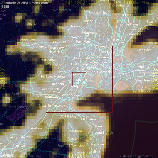
» NASA, Earths city lights 1995
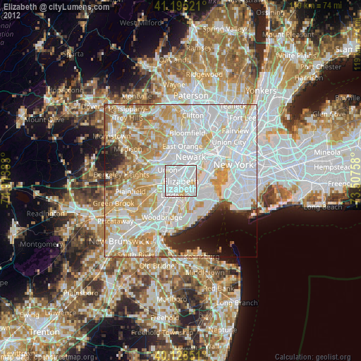
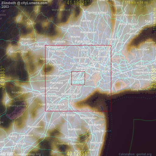
» NASA city lights 2003
» Earth at Night: Flat Maps 2012, 2016