Rogers Park night lights from space
Night Light of Rogers Park (Illinois) from space (United States) Src. Average luminocity for 10x10km area is 71.5524% and for 50x50km: 49.01%.
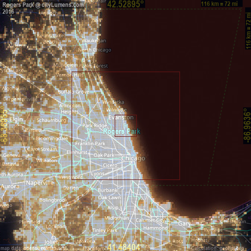
Analysis of Rogers Park night lights 2016
Square area 10x10 km:
 47.94%
90-99
11.43%80-89
0%70-79
0%60-69
1.75%50-59
4.6%40-49
7.14%30-39
6.35%20-29
8.25%10-19
8.89%0-9
3.65%Square area 50x50 km:
27.44%90-99
11.32%80-89
4.46%70-79
2.46%60-69
2.6%50-59
2.01%40-49
1.4%30-39
1.29%20-29
1.99%10-19
3.03%0-9
42%Clear (daylight) street map image can be seen on geolist.org.
Map coordinates:
42° 31' 44.2" North, 88° 22' 11.5" West
42° 0' 31.1" North, 87° 40' 0.2" West
41° 29' 2.5" North, 86° 57' 49" West
Some cities around Rogers Park sort by population:
• Evanston
4.1 km =2.5 mi,  331°
331°
• West Ridge
2.4 km =1.5 mi,  245°
245°
• Skokie
6.2 km =3.9 mi,  296°
296°
• Uptown
4.9 km =3 mi,  166°
166°
• Edgewater
2.8 km =1.7 mi,  175°
175°
• Lincoln Square
4.1 km =2.5 mi,  207°
207°
• North Center
6.2 km =3.9 mi,  189°
189°
• Lincolnwood
5.3 km =3.3 mi,  264°
264°
4908033 (p: 54,402)
Sources (retrieved 2019-11-25):
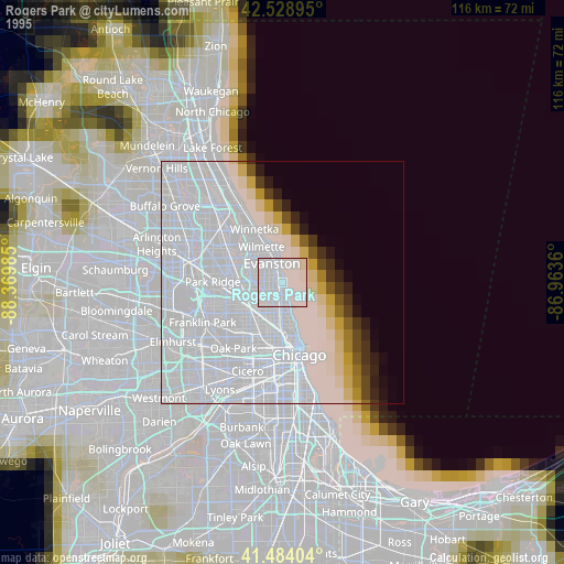
» NASA, Earths city lights 1995
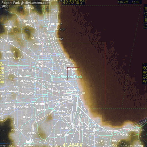
» NASA city lights 2003
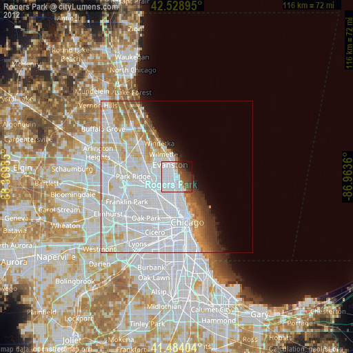
» Earth at Night: Flat Maps 2012, 2016