Lincoln Square night lights from space
Night Light of Lincoln Square (Illinois) from space (United States) Src. Average luminocity for 10x10km area is 92.8016% and for 50x50km: 56.0222%.
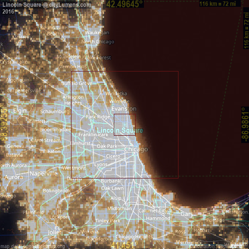
Analysis of Lincoln Square night lights 2016
Square area 10x10 km:
 75.08%
90-99
11.43%80-89
0%70-79
0%60-69
2.7%50-59
3.81%40-49
4.29%30-39
1.75%20-29
0.95%10-19
0%0-9
0%Square area 50x50 km:
32.1%90-99
13.4%80-89
5.27%70-79
2.62%60-69
2.18%50-59
1.54%40-49
1.39%30-39
1.46%20-29
1.98%10-19
2.93%0-9
35.12%Clear (daylight) street map image can be seen on geolist.org.
Map coordinates:
42° 29' 47.2" North, 88° 23' 32.5" West
41° 58' 33.1" North, 87° 41' 21.2" West
41° 27' 3.6" North, 86° 59' 10" West
Some cities around Lincoln Square sort by population:
• West Ridge
2.7 km =1.7 mi,  353°
353°
• Irving Park
4.6 km =2.9 mi,  237°
237°
• Uptown
3.2 km =2 mi,  110°
110°
• Edgewater
2.2 km =1.4 mi,  68°
68°
• Rogers Park
4.1 km =2.5 mi,  27°
27°
• Albany Park
2.9 km =1.8 mi,  253°
253°
• Avondale
4.5 km =2.8 mi,  203°
203°
• North Center
2.6 km =1.6 mi,  160°
160°
4899966 (p: 40,761)
Sources (retrieved 2019-11-25):
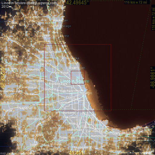
» Earth at Night: Flat Maps 2012, 2016