North Center night lights from space
Night Light of North Center (Illinois) from space (United States) Src. Average luminocity for 10x10km area is 92.781% and for 50x50km: 57.0272%.
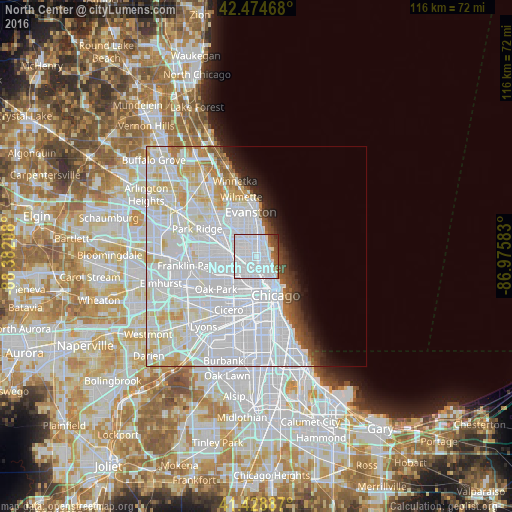
Analysis of North Center night lights 2016
Square area 10x10 km:
 76.98%
90-99
8.89%80-89
0%70-79
0%60-69
3.17%50-59
4.92%40-49
3.97%30-39
0.95%20-29
1.11%10-19
0%0-9
0%Square area 50x50 km:
33.85%90-99
13.19%80-89
4.99%70-79
2.7%60-69
1.59%50-59
1.47%40-49
1.43%30-39
1.5%20-29
2.02%10-19
2.92%0-9
34.33%Clear (daylight) street map image can be seen on geolist.org.
Map coordinates:
42° 28' 28.8" North, 88° 22' 55.5" West
41° 57' 14.1" North, 87° 40' 44.2" West
41° 25' 43.9" North, 86° 58' 33" West
Some cities around North Center sort by population:
• Logan Square
3.8 km =2.4 mi,  206°
206°
• Lincoln Park
4.4 km =2.7 mi,  144°
144°
• Irving Park
4.8 km =3 mi,  269°
269°
• Uptown
2.6 km =1.6 mi,  58°
58°
• Edgewater
3.5 km =2.2 mi,  20°
20°
• Albany Park
4 km =2.5 mi,  293°
293°
• Lincoln Square
2.6 km =1.6 mi,  340°
340°
• Avondale
3.1 km =1.9 mi,  237°
237°
4903858 (p: 34,623)
Sources (retrieved 2019-11-25):
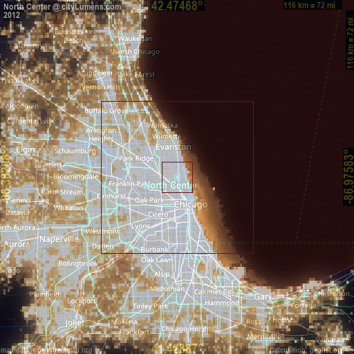
» Earth at Night: Flat Maps 2012, 2016