Robbins night lights from space
Night Light of Robbins (Illinois) from space (United States) Src. Average luminocity for 10x10km area is 97.6623% and for 50x50km: 76.1605%.
Analysis of Robbins night lights 2016
Square area 10x10 km:
 57.14%
90-99
34.74%80-89
5.36%70-79
2.44%60-69
0.32%50-59
0%40-49
0%30-39
0%20-29
0%10-19
0%0-9
0%Square area 50x50 km:
32.21%90-99
17.38%80-89
9.06%70-79
8.51%60-69
8.62%50-59
7.02%40-49
3.35%30-39
2.83%20-29
2.68%10-19
2.62%0-9
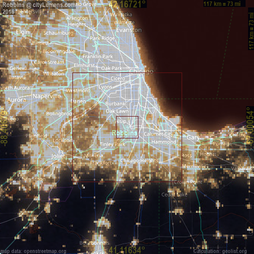
5.71%Clear (daylight) street map image can be seen on geolist.org.
Map coordinates:
42° 10' 2" North, 88° 24' 24.4" West
41° 38' 38.1" North, 87° 42' 13.2" West
41° 6' 58.8" North, 87° 0' 1.9" West
Some cities around Robbins sort by population:
• Oak Forest
5.7 km =3.5 mi,  216°
216°
• Blue Island
2.5 km =1.6 mi,  52°
52°
• Alsip
4 km =2.5 mi,  313°
313°
• Midlothian
2.4 km =1.5 mi,  209°
209°
• Markham
5.6 km =3.5 mi,  172°
172°
• Crestwood
3.1 km =1.9 mi,  271°
271°
• Calumet Park
4.1 km =2.5 mi,  59°
59°
• Posen
2.3 km =1.4 mi,  126°
126°
4907786 (p: 5,480)
Sources (retrieved 2019-11-25):
» Earth at Night: Flat Maps 2012, 2016