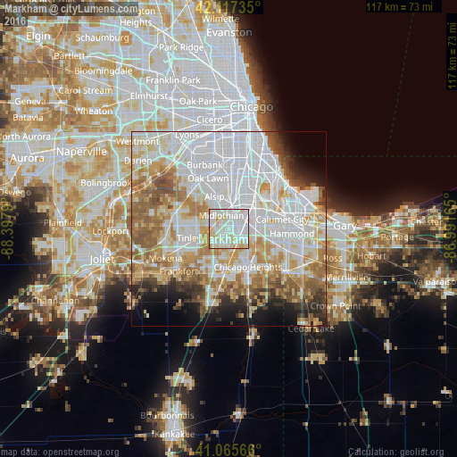
Markham night lights from space
Night Light of Markham (Illinois) from space (United States) Src. Average luminocity for 10x10km area is 95.3766% and for 50x50km: 69.9309%.
Analysis of Markham night lights 2016
Square area 10x10 km:
 43.99%
90-99
34.25%80-89
17.53%70-79
3.9%60-69
0.32%50-59
0%40-49
0%30-39
0%20-29
0%10-19
0%0-9
0%Square area 50x50 km:
27.6%90-99
15.42%80-89
8.37%70-79
8.19%60-69
8.61%50-59
7.01%40-49
3.52%30-39
3.38%20-29
3.97%10-19
5.39%0-9
8.54%Clear (daylight) street map image can be seen on geolist.org.
Map coordinates:
42° 7' 2.5" North, 88° 23' 52.4" West
41° 35' 37.1" North, 87° 41' 41.2" West
41° 3' 56.4" North, 86° 59' 29.9" West
Some cities around Markham sort by population:
• Oak Forest
4.2 km =2.6 mi,  283°
283°
• Harvey
4.4 km =2.7 mi,  65°
65°
• Homewood
4.7 km =2.9 mi,  149°
149°
• Country Club Hills
3.5 km =2.2 mi,  216°
216°
• Midlothian
4 km =2.5 mi,  331°
331°
• Hazel Crest
2.4 km =1.5 mi,  179°
179°
• Posen
4.4 km =2.7 mi,  14°
14°
• Robbins
5.6 km =3.5 mi,  352°
352°
4901229 (p: 12,682)
Sources (retrieved 2019-11-25):
» Earth at Night: Flat Maps 2012, 2016