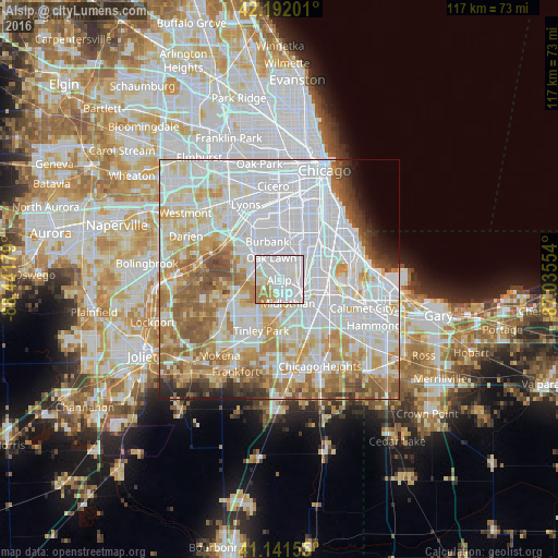
Alsip night lights from space
Night Light of Alsip (Illinois) from space (United States) Src. Average luminocity for 10x10km area is 95.039% and for 50x50km: 79.8156%.
Analysis of Alsip night lights 2016
Square area 10x10 km:
 55.52%
90-99
27.11%80-89
6.49%70-79
3.9%60-69
6.98%50-59
0%40-49
0%30-39
0%20-29
0%10-19
0%0-9
0%Square area 50x50 km:
35.7%90-99
18.77%80-89
9.12%70-79
8.46%60-69
8.56%50-59
6.54%40-49
2.69%30-39
2%20-29
2.16%10-19
1.5%0-9
4.5%Clear (daylight) street map image can be seen on geolist.org.
Map coordinates:
42° 11' 31.2" North, 88° 26' 30.4" West
41° 40' 8.1" North, 87° 44' 19.2" West
41° 8' 29.6" North, 87° 2' 7.9" West
Some cities around Alsip sort by population:
• Oak Lawn
4.9 km =3 mi,  340°
340°
• Blue Island
5 km =3.1 mi,  104°
104°
• Mount Greenwood
4.1 km =2.5 mi,  37°
37°
• Midlothian
5.2 km =3.2 mi,  160°
160°
• Chicago Ridge
4.9 km =3 mi,  317°
317°
• Palos Heights
4.8 km =3 mi,  268°
268°
• Crestwood
2.7 km =1.7 mi,  185°
185°
• Robbins
4 km =2.5 mi,  133°
133°
4883207 (p: 19,346)
Sources (retrieved 2019-11-25):
» Earth at Night: Flat Maps 2012, 2016