Midlothian night lights from space
Night Light of Midlothian (Illinois) from space (United States) Src. Average luminocity for 10x10km area is 94.7451% and for 50x50km: 75.1424%.
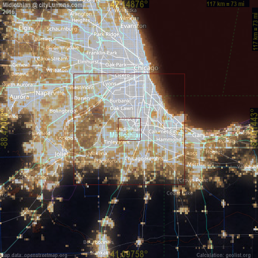
Analysis of Midlothian night lights 2016
Square area 10x10 km:
 48.05%
90-99
30.52%80-89
11.69%70-79
6.49%60-69
3.25%50-59
0%40-49
0%30-39
0%20-29
0%10-19
0%0-9
0%Square area 50x50 km:
30.86%90-99
16.99%80-89
9.28%70-79
8.69%60-69
8.5%50-59
6.99%40-49
3.45%30-39
3.01%20-29
3.53%10-19
3.59%0-9
5.11%Clear (daylight) street map image can be seen on geolist.org.
Map coordinates:
42° 8' 55.5" North, 88° 25' 14.4" West
41° 37' 31.1" North, 87° 43' 3.2" West
41° 5' 51.3" North, 87° 0' 51.9" West
Some cities around Midlothian sort by population:
• Oak Forest
3.3 km =2.1 mi,  221°
221°
• Harvey
6.1 km =3.8 mi,  106°
106°
• Blue Island
4.7 km =2.9 mi,  41°
41°
• Alsip
5.2 km =3.2 mi,  340°
340°
• Markham
4 km =2.5 mi,  151°
151°
• Crestwood
2.9 km =1.8 mi,  317°
317°
• Posen
3.1 km =1.9 mi,  76°
76°
• Robbins
2.4 km =1.5 mi,  29°
29°
4902181 (p: 14,847)
Sources (retrieved 2019-11-25):
» Earth at Night: Flat Maps 2012, 2016