Blue Island night lights from space
Night Light of Blue Island (Illinois) from space (United States) Src. Average luminocity for 10x10km area is 98.8636% and for 50x50km: 75.4556%.
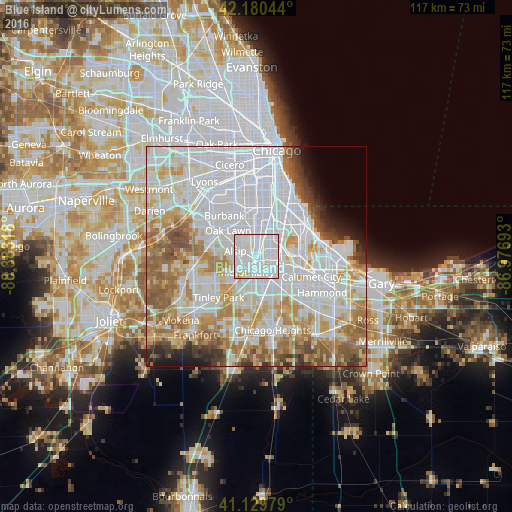

Analysis of Blue Island night lights 2016
Square area 10x10 km:
 66.56%
90-99
30.19%80-89
2.6%70-79
0.65%60-69
0%50-59
0%40-49
0%30-39
0%20-29
0%10-19
0%0-9
0%Square area 50x50 km:
33.17%90-99
17.36%80-89
8.36%70-79
8%60-69
8.37%50-59
6.68%40-49
3.14%30-39
2.7%20-29
2.03%10-19
2.53%0-9
7.66%Clear (daylight) street map image can be seen on geolist.org.
Map coordinates:
42° 10' 49.6" North, 88° 22' 59.4" West
41° 39' 26.1" North, 87° 40' 48.2" West
41° 7' 47.2" North, 86° 58' 36.9" West
Some cities around Blue Island sort by population:
• Morgan Park
3.8 km =2.4 mi,  16°
16°
• Alsip
5 km =3.1 mi,  284°
284°
• Mount Greenwood
5.1 km =3.2 mi,  332°
332°
• Midlothian
4.7 km =2.9 mi,  221°
221°
• Riverdale
4.7 km =2.9 mi,  124°
124°
• Calumet Park
1.7 km =1.1 mi,  69°
69°
• Posen
2.8 km =1.7 mi,  182°
182°
• Robbins
2.5 km =1.6 mi,  232°
232°
4885186 (p: 23,652)
Sources (retrieved 2019-11-25):
» Earth at Night: Flat Maps 2012, 2016