Calumet Park night lights from space
Night Light of Calumet Park (Illinois) from space (United States) Src. Average luminocity for 10x10km area is 99.3214% and for 50x50km: 74.6723%.
Analysis of Calumet Park night lights 2016
Square area 10x10 km:
 73.21%
90-99
25.16%80-89
1.62%70-79
0%60-69
0%50-59
0%40-49
0%30-39
0%20-29
0%10-19
0%0-9
0%Square area 50x50 km:
33.88%90-99
17.21%80-89
7.94%70-79
7.84%60-69
8.1%50-59
5.92%40-49
2.85%30-39
2.34%20-29
1.97%10-19
2.24%0-9
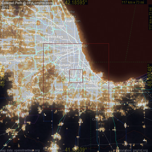
9.71%Clear (daylight) street map image can be seen on geolist.org.
Map coordinates:
42° 11' 9.4" North, 88° 21' 49.4" West
41° 39' 46.1" North, 87° 39' 38.2" West
41° 8' 7.4" North, 86° 57' 26.9" West
Some cities around Calumet Park sort by population:
• Harvey
6 km =3.7 mi,  168°
168°
• Blue Island
1.7 km =1.1 mi,  249°
249°
• Dolton
5.2 km =3.2 mi,  120°
120°
• Morgan Park
3.1 km =1.9 mi,  350°
350°
• Mount Greenwood
5.6 km =3.5 mi,  314°
314°
• Riverdale
4 km =2.5 mi,  145°
145°
• Posen
3.9 km =2.4 mi,  206°
206°
• Robbins
4.1 km =2.5 mi,  239°
239°
4886269 (p: 7,865)
Sources (retrieved 2019-11-25):
» Earth at Night: Flat Maps 2012, 2016