Oak Forest night lights from space
Night Light of Oak Forest (Illinois) from space (United States) Src. Average luminocity for 10x10km area is 90.1851% and for 50x50km: 72.6109%.
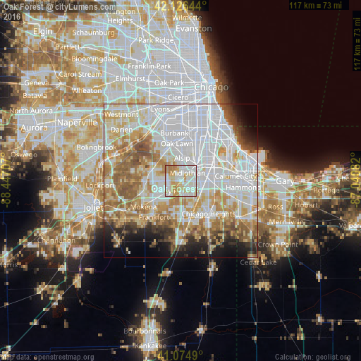
Analysis of Oak Forest night lights 2016
Square area 10x10 km:
 30.36%
90-99
30.19%80-89
17.21%70-79
14.45%60-69
7.79%50-59
0%40-49
0%30-39
0%20-29
0%10-19
0%0-9
0%Square area 50x50 km:
28.81%90-99
16.24%80-89
8.94%70-79
8.8%60-69
8.85%50-59
6.93%40-49
3.33%30-39
2.93%20-29
3.66%10-19
5.23%0-9
6.29%Clear (daylight) street map image can be seen on geolist.org.
Map coordinates:
42° 7' 35.2" North, 88° 26' 49.5" West
41° 36' 10.1" North, 87° 44' 38.2" West
41° 4' 29.6" North, 87° 2' 27" West
Some cities around Oak Forest sort by population:
• Tinley Park
4.7 km =2.9 mi,  225°
225°
• Country Club Hills
4.3 km =2.7 mi,  153°
153°
• Midlothian
3.3 km =2.1 mi,  41°
41°
• Hazel Crest
5.4 km =3.4 mi,  130°
130°
• Markham
4.2 km =2.6 mi,  103°
103°
• Crestwood
4.7 km =2.9 mi,  2°
2°
• Posen
6.1 km =3.8 mi,  58°
58°
• Robbins
5.7 km =3.5 mi, 36°
4904286 (p: 28,074)
Sources (retrieved 2019-11-25):
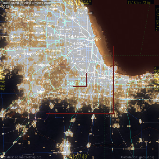
» Earth at Night: Flat Maps 2012, 2016