Ridgecrest night lights from space
Night Light of Ridgecrest (California) from space (United States) Src. Average luminocity for 10x10km area is 27.5315% and for 50x50km: 1.49%.
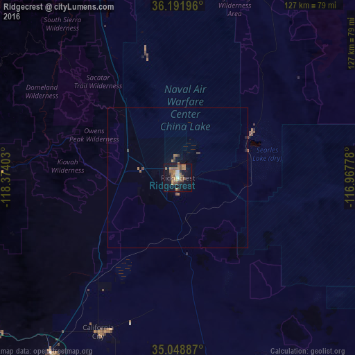
Analysis of Ridgecrest night lights 2016
Square area 10x10 km:
 1.4%
1.4%90-99
2.8%80-89
1.4%70-79
3.15%60-69
8.57%50-59
8.39%40-49
6.82%30-39
2.1%20-29
1.05%10-19
25.7%0-9
38.64%Square area 50x50 km:
0.06%90-99
0.11%80-89
0.06%70-79
0.17%60-69
0.46%50-59
0.39%40-49
0.35%30-39
0.2%20-29
0.08%10-19
1.23%0-9
96.89%Clear (daylight) street map image can be seen on geolist.org.
Map coordinates:
36° 11' 31.1" North, 118° 22' 26.5" West
35° 37' 20.9" North, 117° 40' 15.2" West
35° 2' 55.9" North, 116° 58' 4" West
Some cities around Ridgecrest sort by population:
• Barstow Heights
100.6 km =62.5 mi,  146°
146°
• Barstow
99.7 km =62 mi,  143°
143°
• Rosamond
95.4 km =59.3 mi,  207°
207°
• California City
62.2 km =38.6 mi, 207°
• Tehachapi
89.1 km =55.4 mi,  232°
232°
• Fort Irwin
97.9 km =60.8 mi,  114°
114°
• Golden Hills
91.5 km =56.9 mi, 234°
• Alta Sierra
80.7 km =50.1 mi,  278°
278°
5387494 (p: 28,780)
Sources (retrieved 2019-11-25):
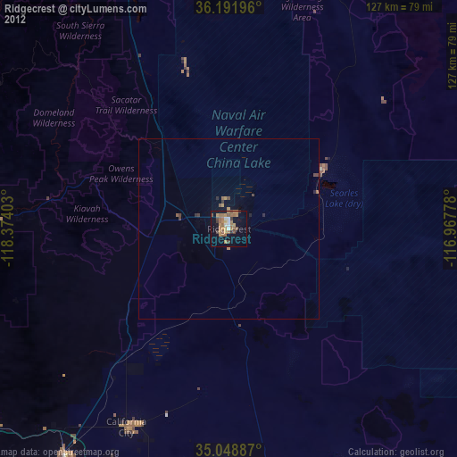
» Earth at Night: Flat Maps 2012, 2016