Barstow Heights night lights from space
Night Light of Barstow Heights (California) from space (United States) Src. Average luminocity for 10x10km area is 35.8608% and for 50x50km: 2.8401%.
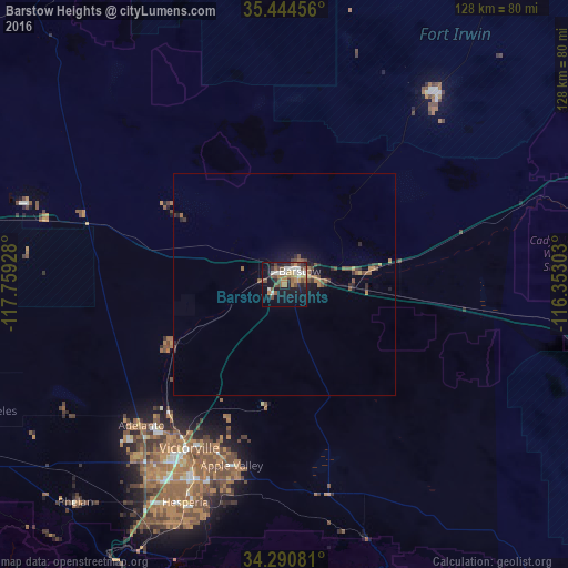
Analysis of Barstow Heights night lights 2016
Square area 10x10 km:
 6.23%
6.23%90-99
5.86%80-89
0.73%70-79
4.58%60-69
7.14%50-59
6.41%40-49
8.61%30-39
3.11%20-29
5.31%10-19
29.3%0-9
22.71%Square area 50x50 km:
0.25%90-99
0.23%80-89
0.08%70-79
0.29%60-69
0.56%50-59
0.63%40-49
0.77%30-39
0.39%20-29
0.62%10-19
2.41%0-9
93.77%Clear (daylight) street map image can be seen on geolist.org.
Map coordinates:
35° 26' 40.4" North, 117° 45' 33.4" West
34° 52' 11" North, 117° 3' 22.1" West
34° 17' 26.9" North, 116° 21' 10.9" West
Some cities around Barstow Heights sort by population:
• Victorville
42.9 km =26.7 mi,  210°
210°
• Hesperia
54.1 km =33.6 mi,  204°
204°
• Apple Valley
42.7 km =26.5 mi, 196°
• Adelanto
45.4 km =28.2 mi,  225°
225°
• Fort Irwin
55.2 km =34.3 mi,  37°
37°
• Spring Valley Lake
46.1 km =28.6 mi, 204°
• Lucerne Valley
48 km =29.8 mi,  170°
170°
• Silver Lakes
29.4 km =18.3 mi,  242°
242°
5326305 (p: 24,202)
Sources (retrieved 2019-11-25):
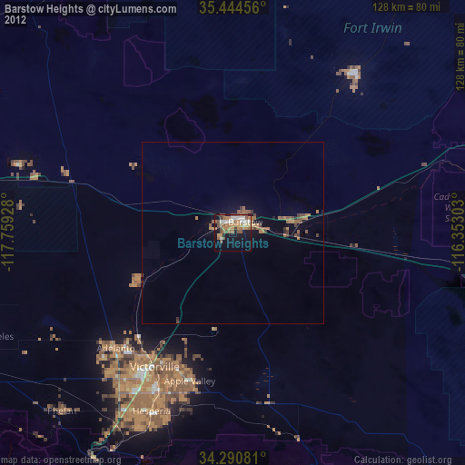
» Earth at Night: Flat Maps 2012, 2016