Fort Irwin night lights from space
Night Light of Fort Irwin (California) from space (United States) Src. Average luminocity for 10x10km area is 21.4441% and for 50x50km: 1.042%.
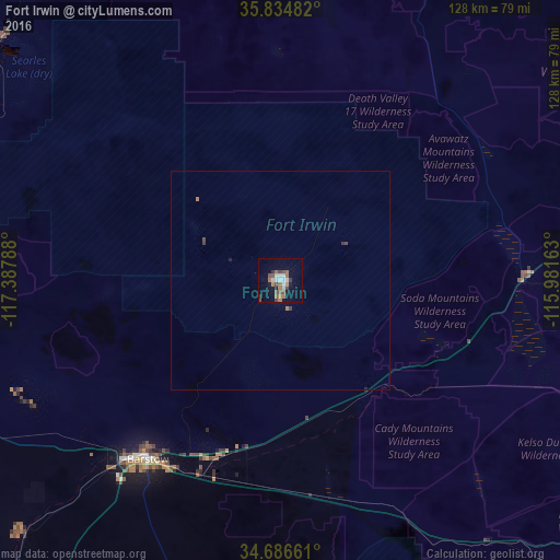
Analysis of Fort Irwin night lights 2016
Square area 10x10 km:
 2.62%
2.62%90-99
3.67%80-89
0.7%70-79
0.7%60-69
6.64%50-59
4.02%40-49
4.2%30-39
1.92%20-29
0.87%10-19
14.69%0-9
59.97%Square area 50x50 km:
0.11%90-99
0.15%80-89
0.03%70-79
0.03%60-69
0.32%50-59
0.16%40-49
0.24%30-39
0.15%20-29
0.08%10-19
0.6%0-9
98.15%Clear (daylight) street map image can be seen on geolist.org.
Map coordinates:
35° 50' 5.4" North, 117° 23' 16.4" West
35° 15' 45.9" North, 116° 41' 5.1" West
34° 41' 11.8" North, 115° 58' 53.9" West
Some cities around Fort Irwin sort by population:
• Victorville
97.9 km =60.8 mi,  214°
214°
• Apple Valley
96.3 km =59.8 mi, 208°
• Adelanto
100.4 km =62.4 mi,  221°
221°
• Ridgecrest
97.9 km =60.8 mi,  294°
294°
• Barstow Heights
55.2 km =34.3 mi, 217°
• Barstow
50.9 km =31.6 mi, 217°
• Lucerne Valley
94.6 km =58.8 mi,  195°
195°
• Silver Lakes
82.9 km =51.5 mi,  226°
226°
5350057 (p: 8,845)
Sources (retrieved 2019-11-25):
» Earth at Night: Flat Maps 2012, 2016