Blue Springs night lights from space
Night Light of Blue Springs (Missouri) from space (United States) Src. Average luminocity for 10x10km area is 59.6932% and for 50x50km: 35.5949%.
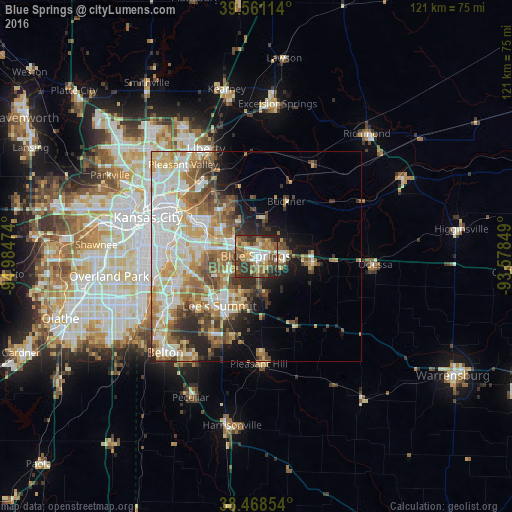
Analysis of Blue Springs night lights 2016
Square area 10x10 km:
 9.09%
9.09%90-99
7.79%80-89
6.98%70-79
11.69%60-69
11.53%50-59
13.31%40-49
13.31%30-39
16.56%20-29
9.25%10-19
0.49%0-9
0%Square area 50x50 km:
8.34%90-99
7.6%80-89
4.82%70-79
4.73%60-69
5.75%50-59
5%40-49
4.22%30-39
4.29%20-29
4.32%10-19
5.84%0-9
45.09%Clear (daylight) street map image can be seen on geolist.org.
Map coordinates:
39° 33' 40.1" North, 94° 59' 5.1" West
39° 1' 1" North, 94° 16' 53.8" West
38° 28' 6.7" North, 93° 34' 42.6" West
Some cities around Blue Springs sort by population:
• Independence
14.2 km =8.8 mi,  305°
305°
• East Independence
10.8 km =6.7 mi,  323°
323°
• Lee's Summit
14.7 km =9.1 mi,  216°
216°
• Raytown
15.7 km =9.8 mi,  266°
266°
• Grain Valley
7.2 km =4.5 mi,  91°
91°
• Pleasant Hill
25.5 km =15.8 mi,  177°
177°
• Oak Grove
13.2 km =8.2 mi,  95°
95°
• Greenwood
19.1 km =11.9 mi,  196°
196°
4377664 (p: 54,148)
Sources (retrieved 2019-11-25):
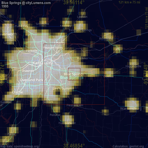
» NASA, Earths city lights 1995
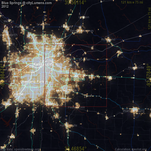
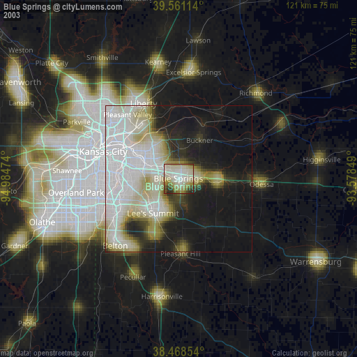
» NASA city lights 2003
» Earth at Night: Flat Maps 2012, 2016