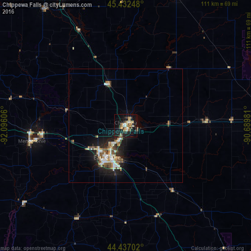
Chippewa Falls night lights from space
Night Light of Chippewa Falls (Wisconsin) from space (United States) Src. Average luminocity for 10x10km area is 29.4032% and for 50x50km: 6.2483%.
Analysis of Chippewa Falls night lights 2016
Square area 10x10 km:
 3.02%
3.02%90-99
2.38%80-89
5.4%70-79
3.65%60-69
5.56%50-59
3.65%40-49
3.49%30-39
4.92%20-29
4.6%10-19
39.21%0-9
24.13%Square area 50x50 km:
0.92%90-99
0.89%80-89
0.85%70-79
0.53%60-69
0.87%50-59
0.88%40-49
0.96%30-39
0.95%20-29
1.6%10-19
5.06%0-9
86.49%Clear (daylight) street map image can be seen on geolist.org.
Map coordinates:
45° 25' 56.9" North, 92° 5' 45.8" West
44° 56' 12.9" North, 91° 23' 34.5" West
44° 26' 13.3" North, 90° 41' 23.3" West
Some cities around Chippewa Falls sort by population:
• Eau Claire
16.3 km =10.1 mi,  210°
210°
• Menomonie
42 km =26.1 mi,  260°
260°
• River Falls
97.3 km =60.5 mi,  265°
265°
• New Richmond
92.2 km =57.3 mi,  282°
282°
• Rice Lake
68.8 km =42.8 mi,  336°
336°
• Altoona
15.2 km =9.4 mi,  195°
195°
• Lake Hallie
7.8 km =4.8 mi, 208°
• Lake City
87.9 km =54.6 mi,  231°
231°
5248511 (p: 14,047)
Sources (retrieved 2019-11-25):
» Earth at Night: Flat Maps 2012, 2016