Eau Claire night lights from space
Night Light of Eau Claire (Wisconsin) from space (United States) Src. Average luminocity for 10x10km area is 65.8984% and for 50x50km: 6.0063%.
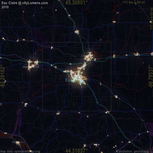
Analysis of Eau Claire night lights 2016
Square area 10x10 km:
 14.29%
90-99
16.51%80-89
10.16%70-79
5.4%60-69
7.78%50-59
12.86%40-49
12.22%30-39
8.89%20-29
8.41%10-19
3.49%0-9
0%Square area 50x50 km:
0.87%90-99
0.87%80-89
0.85%70-79
0.53%60-69
0.77%50-59
0.89%40-49
0.9%30-39
0.83%20-29
1.55%10-19
5.06%0-9
86.87%Clear (daylight) street map image can be seen on geolist.org.
Map coordinates:
45° 18' 28.8" North, 92° 12' 5.8" West
44° 48' 40.9" North, 91° 29' 54.6" West
44° 18' 37.3" North, 90° 47' 43.3" West
Some cities around Eau Claire sort by population:
• Winona
85.4 km =53.1 mi,  187°
187°
• Red Wing
86.4 km =53.7 mi,  251°
251°
• Menomonie
33.9 km =21.1 mi,  282°
282°
• Chippewa Falls
16.3 km =10.1 mi,  30°
30°
• Rice Lake
79.5 km =49.4 mi,  346°
346°
• Altoona
4.4 km =2.7 mi,  99°
99°
• Lake Hallie
8.5 km =5.3 mi, 32°
• Lake City
73 km =45.4 mi,  236°
236°
5251436 (p: 67,778)
Sources (retrieved 2019-11-25):
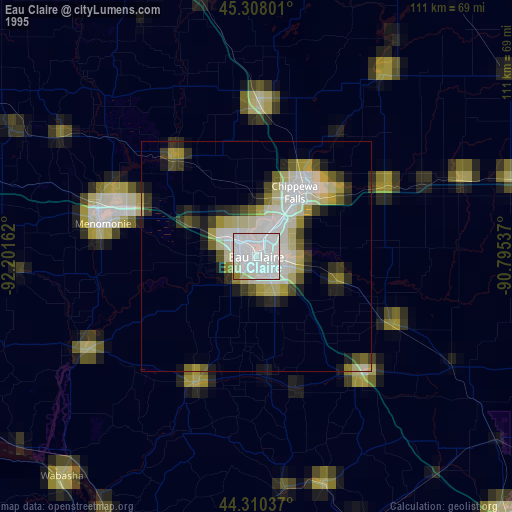
» NASA, Earths city lights 1995
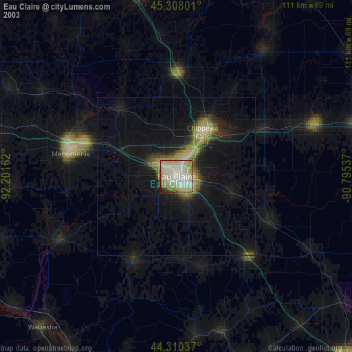
» NASA city lights 2003
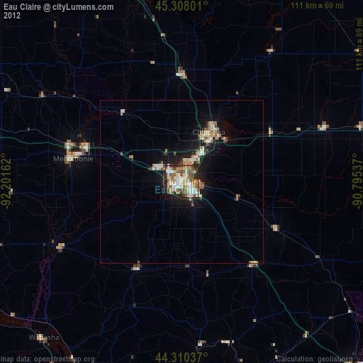
» Earth at Night: Flat Maps 2012, 2016