Altoona night lights from space
Night Light of Altoona (Wisconsin) from space (United States) Src. Average luminocity for 10x10km area is 49.219% and for 50x50km: 6.2022%.
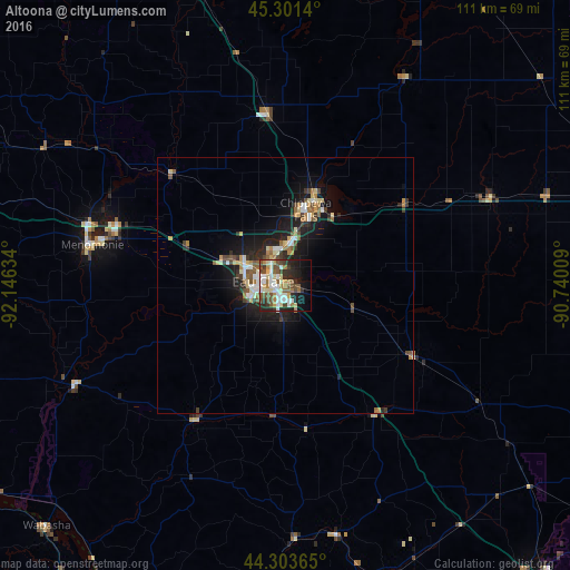
Analysis of Altoona night lights 2016
Square area 10x10 km:
 9.05%
9.05%90-99
11.27%80-89
7.14%70-79
4.13%60-69
6.83%50-59
7.46%40-49
10.48%30-39
5.71%20-29
10.16%10-19
14.13%0-9
13.65%Square area 50x50 km:
0.87%90-99
0.88%80-89
0.85%70-79
0.61%60-69
0.82%50-59
0.92%40-49
0.93%30-39
0.93%20-29
1.61%10-19
5.06%0-9
86.5%Clear (daylight) street map image can be seen on geolist.org.
Map coordinates:
45° 18' 5" North, 92° 8' 46.8" West
44° 48' 16.8" North, 91° 26' 35.6" West
44° 18' 13.1" North, 90° 44' 24.3" West
Some cities around Altoona sort by population:
• Eau Claire
4.4 km =2.7 mi,  279°
279°
• Winona
85.3 km =53 mi,  190°
190°
• Red Wing
90.3 km =56.1 mi,  252°
252°
• Menomonie
38.4 km =23.9 mi, 281°
• Chippewa Falls
15.2 km =9.4 mi,  15°
15°
• Rice Lake
81.3 km =50.5 mi,  343°
343°
• Lake Hallie
7.9 km =4.9 mi,  1°
1°
• Lake City
76.3 km =47.4 mi,  238°
238°
5243819 (p: 7,321)
Sources (retrieved 2019-11-25):
» Earth at Night: Flat Maps 2012, 2016