Lake Hallie night lights from space
Night Light of Lake Hallie (Wisconsin) from space (United States) Src. Average luminocity for 10x10km area is 32.8476% and for 50x50km: 6.1929%.
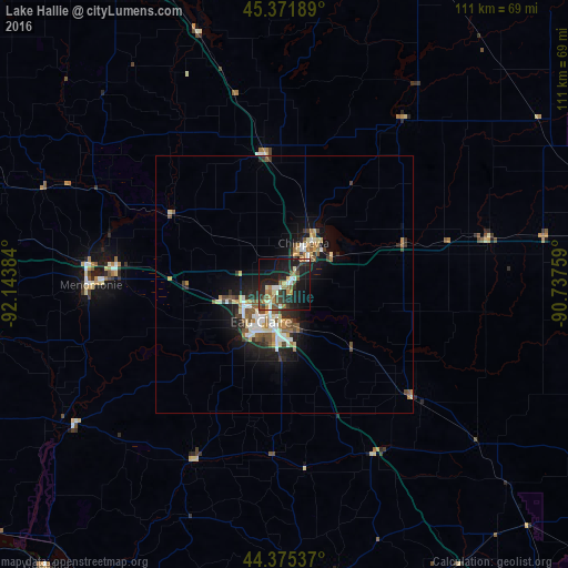
Analysis of Lake Hallie night lights 2016
Square area 10x10 km:
 3.65%
3.65%90-99
4.29%80-89
3.02%70-79
4.29%60-69
5.08%50-59
4.6%40-49
5.24%30-39
5.87%20-29
12.54%10-19
37.78%0-9
13.65%Square area 50x50 km:
0.87%90-99
0.88%80-89
0.85%70-79
0.58%60-69
0.81%50-59
0.94%40-49
0.95%30-39
0.94%20-29
1.59%10-19
5.06%0-9
86.53%Clear (daylight) street map image can be seen on geolist.org.
Map coordinates:
45° 22' 18.8" North, 92° 8' 37.8" West
44° 52' 32.8" North, 91° 26' 26.6" West
44° 22' 31.3" North, 90° 44' 15.3" West
Some cities around Lake Hallie sort by population:
• Eau Claire
8.5 km =5.3 mi,  212°
212°
• Winona
93.2 km =57.9 mi,  189°
189°
• Red Wing
93.1 km =57.8 mi,  248°
248°
• Menomonie
37.7 km =23.4 mi,  269°
269°
• Chippewa Falls
7.8 km =4.8 mi,  28°
28°
• New Richmond
90.4 km =56.2 mi,  287°
287°
• Rice Lake
73.9 km =45.9 mi,  341°
341°
• Altoona
7.9 km =4.9 mi,  181°
181°
5259182 (p: 6,535)
Sources (retrieved 2019-11-25):
» Earth at Night: Flat Maps 2012, 2016