New Richmond night lights from space
Night Light of New Richmond (Wisconsin) from space (United States) Src. Average luminocity for 10x10km area is 14.2939% and for 50x50km: 4.6953%.
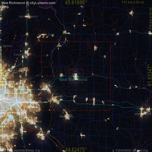
Analysis of New Richmond night lights 2016
Square area 10x10 km:
 1.67%
1.67%90-99
3.18%80-89
2.12%70-79
0.61%60-69
1.52%50-59
0.61%40-49
1.67%30-39
1.36%20-29
5.61%10-19
3.64%0-9
78.03%Square area 50x50 km:
0.36%90-99
0.53%80-89
0.5%70-79
0.48%60-69
0.79%50-59
0.81%40-49
0.94%30-39
0.58%20-29
1.06%10-19
4%0-9
89.97%Clear (daylight) street map image can be seen on geolist.org.
Map coordinates:
45° 37' 1.1" North, 93° 14' 23" West
45° 7' 22.9" North, 92° 32' 11.7" West
44° 37' 29.1" North, 91° 50' 0.5" West
Some cities around New Richmond sort by population:
• White Bear Lake
37.4 km =23.2 mi,  263°
263°
• Stillwater
22.4 km =13.9 mi,  250°
250°
• River Falls
29.9 km =18.6 mi,  193°
193°
• Hugo
36.1 km =22.4 mi,  276°
276°
• Hudson
23.9 km =14.9 mi,  226°
226°
• North Saint Paul
37.8 km =23.5 mi, 251°
• Lake Elmo
30.4 km =18.9 mi,  242°
242°
• Mahtomedi
33.1 km =20.6 mi, 259°
5264475 (p: 8,821)
Sources (retrieved 2019-11-25):
» Earth at Night: Flat Maps 2012, 2016