Manhattan Beach night lights from space
Night Light of Manhattan Beach (California) from space (United States) Src. Average luminocity for 10x10km area is 67.3584% and for 50x50km: 51.1885%.
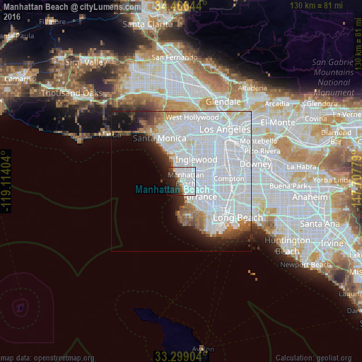
Analysis of Manhattan Beach night lights 2016
Square area 10x10 km:
 34.97%
90-99
18.53%80-89
1.75%70-79
0.87%60-69
2.8%50-59
2.27%40-49
4.2%30-39
7.52%20-29
12.24%10-19
10.49%0-9
4.37%Square area 50x50 km:
33.28%90-99
9.32%80-89
1.41%70-79
1.38%60-69
2.72%50-59
2.34%40-49
1.94%30-39
1.86%20-29
3.41%10-19
6.08%0-9
36.27%Clear (daylight) street map image can be seen on geolist.org.
Map coordinates:
34° 27' 59.2" North, 119° 6' 50.5" West
33° 53' 5.1" North, 118° 24' 39.3" West
33° 17' 56.5" North, 117° 42' 28" West
Some cities around Manhattan Beach sort by population:
• Hawthorne
6.4 km =4 mi,  56°
56°
• Redondo Beach
4.5 km =2.8 mi,  152°
152°
• Lawndale
5.4 km =3.4 mi,  87°
87°
• Lennox
8 km =5 mi,  42°
42°
• Hermosa Beach
2.7 km =1.7 mi,  157°
157°
• El Segundo
3.9 km =2.4 mi,  352°
352°
• Del Aire
5.2 km =3.2 mi,  47°
47°
• Alondra Park
7.4 km =4.6 mi, 85°
5370082 (p: 35,818)
Sources (retrieved 2019-11-25):
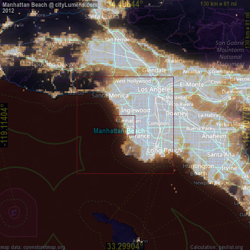
» Earth at Night: Flat Maps 2012, 2016