The Dalles night lights from space
Night Light of The Dalles (Oregon) from space (United States) Src. Average luminocity for 10x10km area is 19.7273% and for 50x50km: 1.0654%.
Analysis of The Dalles night lights 2016
Square area 10x10 km:
 2.27%
2.27%90-99
4.24%80-89
1.82%70-79
0.91%60-69
3.94%50-59
2.27%40-49
5%30-39
1.06%20-29
1.52%10-19
12.73%0-9
64.24%Square area 50x50 km:
0.09%90-99
0.17%80-89
0.1%70-79
0.08%60-69
0.2%50-59
0.11%40-49
0.27%30-39
0.08%20-29
0.1%10-19
0.6%0-9
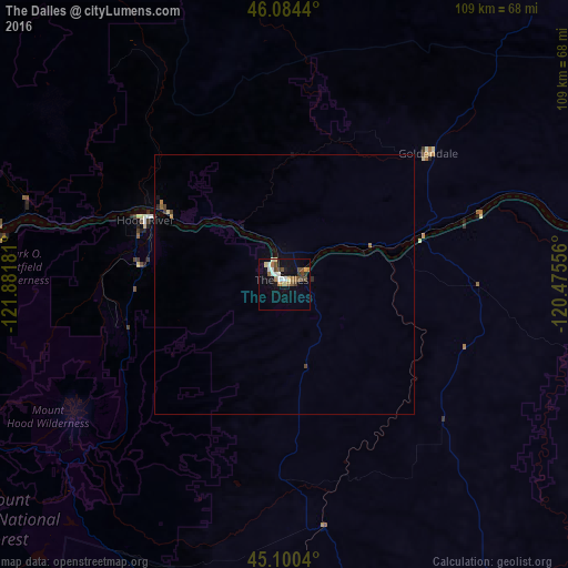
98.2%Clear (daylight) street map image can be seen on geolist.org.
Map coordinates:
46° 5' 3.8" North, 121° 52' 54.5" West
45° 35' 40.4" North, 121° 10' 43.2" West
45° 6' 1.4" North, 120° 28' 32" West
Some cities around The Dalles sort by population:
• Gresham
98.1 km =61 mi,  263°
263°
• Camas
95 km =59 mi,  269°
269°
• Troutdale
94.3 km =58.6 mi, 266°
• Washougal
91.4 km =56.8 mi, 269°
• Damascus
101.7 km =63.2 mi, 258°
• Sandy
87.2 km =54.2 mi, 255°
• Fairview
97.9 km =60.8 mi, 266°
• Hood River
29.4 km =18.3 mi,  294°
294°
5756304 (p: 15,340)
Sources (retrieved 2019-11-25):
» Earth at Night: Flat Maps 2012, 2016