Rawlins night lights from space
Night Light of Rawlins (Wyoming) from space (United States) Src. Average luminocity for 10x10km area is 18.9172% and for 50x50km: 1.1295%.
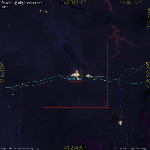
Analysis of Rawlins night lights 2016
Square area 10x10 km:
 1.14%
1.14%90-99
1.79%80-89
1.79%70-79
6.49%60-69
4.22%50-59
1.95%40-49
0.81%30-39
1.79%20-29
1.46%10-19
10.39%0-9
68.18%Square area 50x50 km:
0.07%90-99
0.1%80-89
0.15%70-79
0.31%60-69
0.17%50-59
0.14%40-49
0.12%30-39
0.15%20-29
0.06%10-19
0.44%0-9
98.3%Clear (daylight) street map image can be seen on geolist.org.
Map coordinates:
42° 18' 47.4" North, 107° 56' 30.4" West
41° 47' 27.9" North, 107° 14' 19.2" West
41° 15' 52.9" North, 106° 32' 7.9" West
Some cities around Rawlins sort by population:
• Casper
141.7 km =88 mi,  32°
32°
• Laramie
147.1 km =91.4 mi,  111°
111°
• Rock Springs
164.7 km =102.3 mi,  262°
262°
• Steamboat Springs
149.2 km =92.7 mi,  166°
166°
• Riverton
166.1 km =103.2 mi,  325°
325°
• Craig
144.2 km =89.6 mi,  190°
190°
• Lander
168.7 km =104.8 mi,  313°
313°
• Douglas
186.9 km =116.1 mi,  54°
54°
5836068 (p: 9,040)
Sources (retrieved 2019-11-25):
» Earth at Night: Flat Maps 2012, 2016