Steamboat Springs night lights from space
Night Light of Steamboat Springs (Colorado) from space (United States) Src. Average luminocity for 10x10km area is 13.398% and for 50x50km: 0.6369%.
Analysis of Steamboat Springs night lights 2016
Square area 10x10 km:
 0.68%
0.68%90-99
1.36%80-89
2.04%70-79
0.68%60-69
3.4%50-59
4.08%40-49
1.87%30-39
1.53%20-29
2.72%10-19
1.7%0-9
79.93%Square area 50x50 km:
0.03%90-99
0.05%80-89
0.11%70-79
0.07%60-69
0.16%50-59
0.16%40-49
0.07%30-39
0.08%20-29
0.13%10-19
0.06%0-9
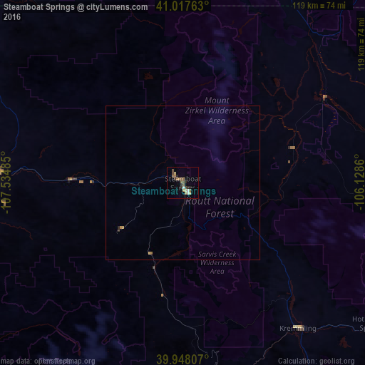
99.08%Clear (daylight) street map image can be seen on geolist.org.
Map coordinates:
41° 1' 3.5" North, 107° 32' 5.5" West
40° 29' 5.9" North, 106° 49' 54.2" West
39° 56' 53.1" North, 106° 7' 43" West
Some cities around Steamboat Springs sort by population:
• Edwards
95.6 km =59.4 mi,  167°
167°
• Glenwood Springs
112.1 km =69.7 mi,  202°
202°
• Craig
60.5 km =37.6 mi,  273°
273°
• Gypsum
93.7 km =58.2 mi,  186°
186°
• Eagle
92.3 km =57.4 mi,  179°
179°
• Avon
98.5 km =61.2 mi,  164°
164°
• Estes Park
111.5 km =69.3 mi,  96°
96°
• Vail
101.7 km =63.2 mi, 157°
5582371 (p: 12,435)
Sources (retrieved 2019-11-25):
» Earth at Night: Flat Maps 2012, 2016