Lander night lights from space
Night Light of Lander (Wyoming) from space (United States) Src. Average luminocity for 10x10km area is 7.8591% and for 50x50km: 0.7653%.
Analysis of Lander night lights 2016
Square area 10x10 km:
 0%
0%90-99
0%80-89
1.67%70-79
2.58%60-69
1.21%50-59
3.18%40-49
0.45%30-39
0%20-29
0.61%10-19
0.45%0-9
89.85%Square area 50x50 km:
0.02%90-99
0.01%80-89
0.09%70-79
0.14%60-69
0.15%50-59
0.26%40-49
0.11%30-39
0.16%20-29
0.16%10-19
0.17%0-9
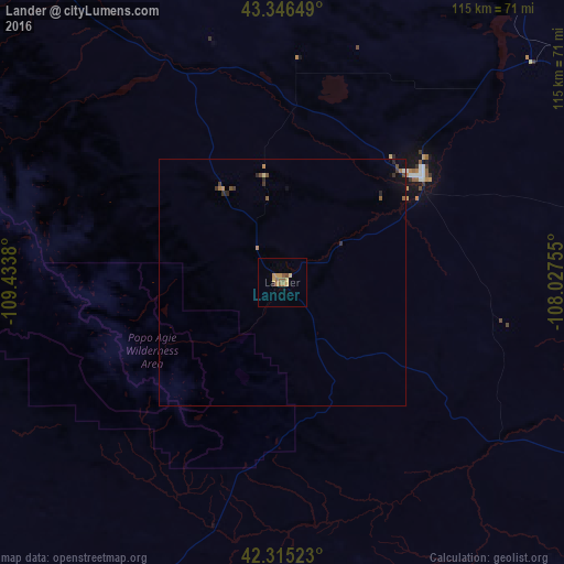
98.73%Clear (daylight) street map image can be seen on geolist.org.
Map coordinates:
43° 20' 47.4" North, 109° 26' 1.7" West
42° 49' 58.8" North, 108° 43' 50.4" West
42° 18' 54.8" North, 108° 1' 39.2" West
Some cities around Lander sort by population:
• Casper
197.1 km =122.5 mi,  88°
88°
• Rock Springs
143.8 km =89.4 mi,  195°
195°
• Green River
157.2 km =97.7 mi, 202°
• Riverton
35.6 km =22.1 mi,  53°
53°
• Jackson
179.8 km =111.7 mi,  293°
293°
• Cody
190.1 km =118.1 mi,  352°
352°
• Rawlins
168.7 km =104.8 mi,  133°
133°
• Worland
145.8 km =90.6 mi,  25°
25°
5830007 (p: 7,686)
Sources (retrieved 2019-11-25):
» Earth at Night: Flat Maps 2012, 2016