Craig night lights from space
Night Light of Craig (Colorado) from space (United States) Src. Average luminocity for 10x10km area is 15.1871% and for 50x50km: 0.8199%.
Analysis of Craig night lights 2016
Square area 10x10 km:
 0.68%
0.68%90-99
2.38%80-89
1.53%70-79
4.76%60-69
0.51%50-59
4.76%40-49
0.85%30-39
0.51%20-29
0%10-19
2.38%0-9
81.63%Square area 50x50 km:
0.05%90-99
0.11%80-89
0.06%70-79
0.21%60-69
0.08%50-59
0.23%40-49
0.08%30-39
0.11%20-29
0%10-19
0.13%0-9
98.95%Clear (daylight) street map image can be seen on geolist.org.
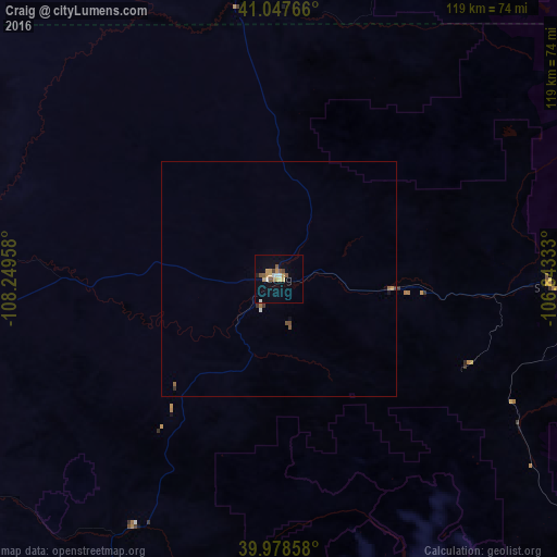
Map coordinates:
41° 2' 51.6" North, 108° 14' 58.5" West
40° 30' 54.9" North, 107° 32' 47.2" West
39° 58' 42.9" North, 106° 50' 36" West
Some cities around Craig sort by population:
• Steamboat Springs
60.5 km =37.6 mi,  93°
93°
• Edwards
126.2 km =78.4 mi,  140°
140°
• Glenwood Springs
108.9 km =67.7 mi,  170°
170°
• Rifle
110.9 km =68.9 mi,  190°
190°
• Gypsum
109 km =67.7 mi,  152°
152°
• Eagle
113.5 km =70.5 mi, 147°
• Carbondale
127 km =78.9 mi, 166°
• Avon
131.3 km =81.6 mi, 138°
5576064 (p: 8,844)
Sources (retrieved 2019-11-25):
» Earth at Night: Flat Maps 2012, 2016