Presque Isle night lights from space
Night Light of Presque Isle (Maine) from space (United States) Src. Average luminocity for 10x10km area is 12.9247% and for 50x50km: 1.09%.
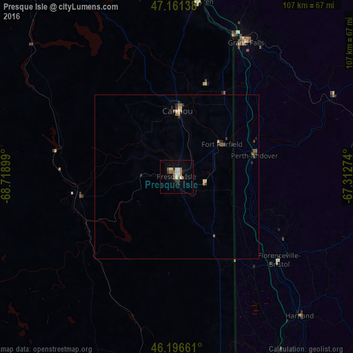
Analysis of Presque Isle night lights 2016
Square area 10x10 km:
 0.85%
0.85%90-99
3.69%80-89
1.14%70-79
0%60-69
2.41%50-59
3.55%40-49
0.71%30-39
1.28%20-29
0.85%10-19
2.7%0-9
82.81%Square area 50x50 km:
0.05%90-99
0.19%80-89
0.11%70-79
0.11%60-69
0.13%50-59
0.29%40-49
0.16%30-39
0.22%20-29
0.21%10-19
0.17%0-9
98.35%Clear (daylight) street map image can be seen on geolist.org.
Map coordinates:
47° 9' 41" North, 68° 43' 8.4" West
46° 40' 52.1" North, 68° 0' 57.1" West
46° 11' 47.8" North, 67° 18' 45.9" West
Some cities around Presque Isle sort by population:
• Fredericton, CA
132.1 km =82.1 mi,  128°
128°
• Rivière-du-Loup, CA
171.8 km =106.8 mi,  317°
317°
• Edmundston, CA
80.5 km =50 mi,  343°
343°
• La Malbaie, CA
194.4 km =120.8 mi,  303°
303°
• Oromocto, CA
151 km =93.8 mi, 128°
• Caribou
20 km =12.4 mi,  0°
0°
• Campbellton, CA
178.9 km =111.2 mi,  34°
34°
• Houlton
63.2 km =39.3 mi,  167°
167°
4975966 (p: 9,171)
Sources (retrieved 2019-11-25):
» Earth at Night: Flat Maps 2012, 2016